TYPE:
SENSOR
LAYER:
DS_PHR1B_201306181350365_FR1_PX_W057S35_1004_01641
FORMAT:
DIMAP
RASTER:
image/jp2
General Information
Map Name
Geometric Processing Level
Radiometric Processing Level
BASIC
Image dimensions
Number of columns
40000
Number of rows
36380
Number of spectral bands
1
Dataset framing
Vertice
Longitude (DEG)
Latitude (DEG)
Row
Col
#1
-56.28160882627807
-34.77894036296284
#2
-56.05761757043795
-34.78042840000812
#3
-56.0578281035039
-34.94804086149617
#4
-56.28213896305117
-34.94638043984879
Dataset sources
PHR
Coordinate Reference System
Projected Coordinate System
Geocoding tables identification
EPSG(6.3)
Production
Production Date
2013-06-19T13:48:42.565
Job identification
629613101-001
Dataset Producer Identification
SISA
Producer link
http://www.spotimage.fr
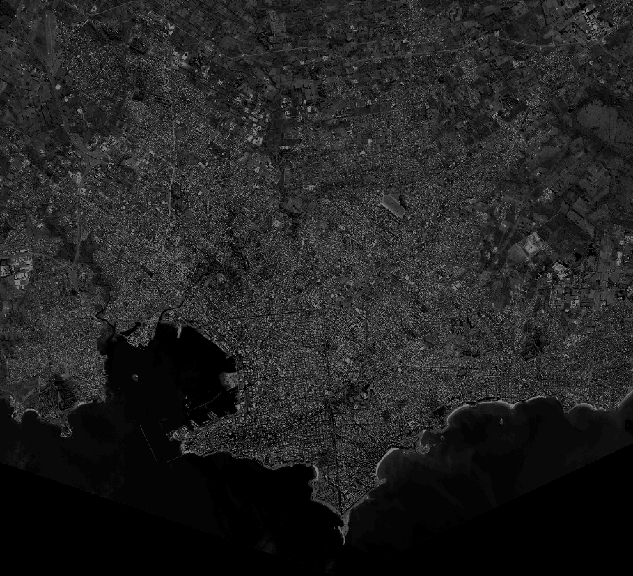
Quicklook
Copyright