TYPE:
SENSOR
LAYER:
DS_PHR1B_201301182215520_FR1_PX_E176S40_1112_03917
FORMAT:
DIMAP
RASTER:
image/jp2
General Information
Map Name
Geometric Processing Level
Radiometric Processing Level
BASIC
Image dimensions
Number of columns
40000
Number of rows
87612
Number of spectral bands
1
Dataset framing
Vertice
Longitude (DEG)
Latitude (DEG)
Row
Col
#1
176.752811742258
-39.32850065245775
#2
176.9891555986637
-39.32879726717999
#3
176.9885598065839
-39.72870245860325
#4
176.7506976741119
-39.72770453938119
Dataset sources
PHR
Coordinate Reference System
Projected Coordinate System
Geocoding tables identification
EPSG(6.3)
Production
Production Date
2014-10-21T16:34:07.402
Job identification
IPU_20141021_4418-003
Dataset Producer Identification
Astrium Services / Spot Image
Producer link
http://www.astrium-geo.com
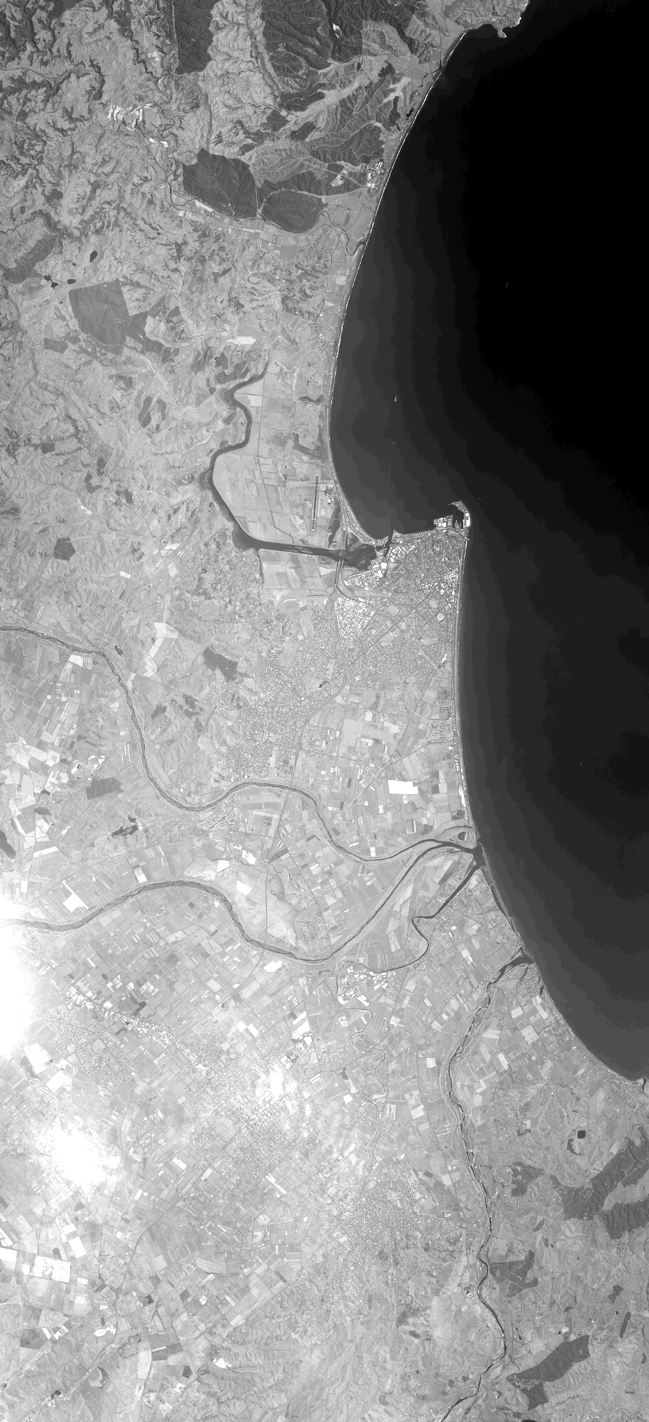
Quicklook
Copyright