TYPE:
SENSOR
LAYER:
DS_PHR1B_201301182216106_FR1_PX_E176S40_1112_03974
FORMAT:
DIMAP
RASTER:
image/jp2
General Information
Map Name
Geometric Processing Level
Radiometric Processing Level
BASIC
Image dimensions
Number of columns
10000
Number of rows
22224
Number of spectral bands
4
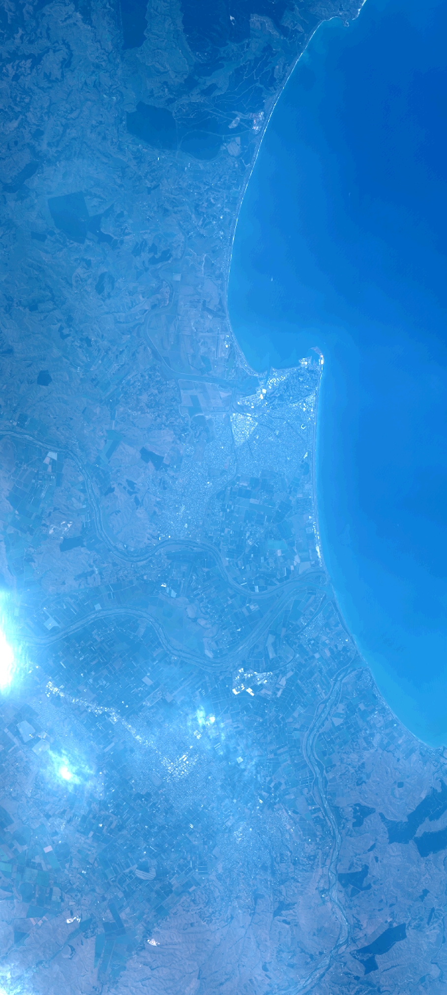
Dataset framing
Vertice
Longitude (DEG)
Latitude (DEG)
Row
Col
#1
176.7524537672422
-39.32953098290017
1
#2
176.9889557375535
-39.32839715059651
#3
176.9883108989174
-39.73337347796172
#4
176.750234251973
-39.73274964150953
Dataset sources
PHR
Coordinate Reference System
Projected Coordinate System
Geocoding tables identification
EPSG(6.3)
Production
Production Date
2014-10-21T16:36:35.302
Job identification
IPU_20141021_4423-004
Dataset Producer Identification
Astrium Services / Spot Image
Producer link
http://www.astrium-geo.com
Quicklook
Copyright