TYPE:
SENSOR
LAYER:
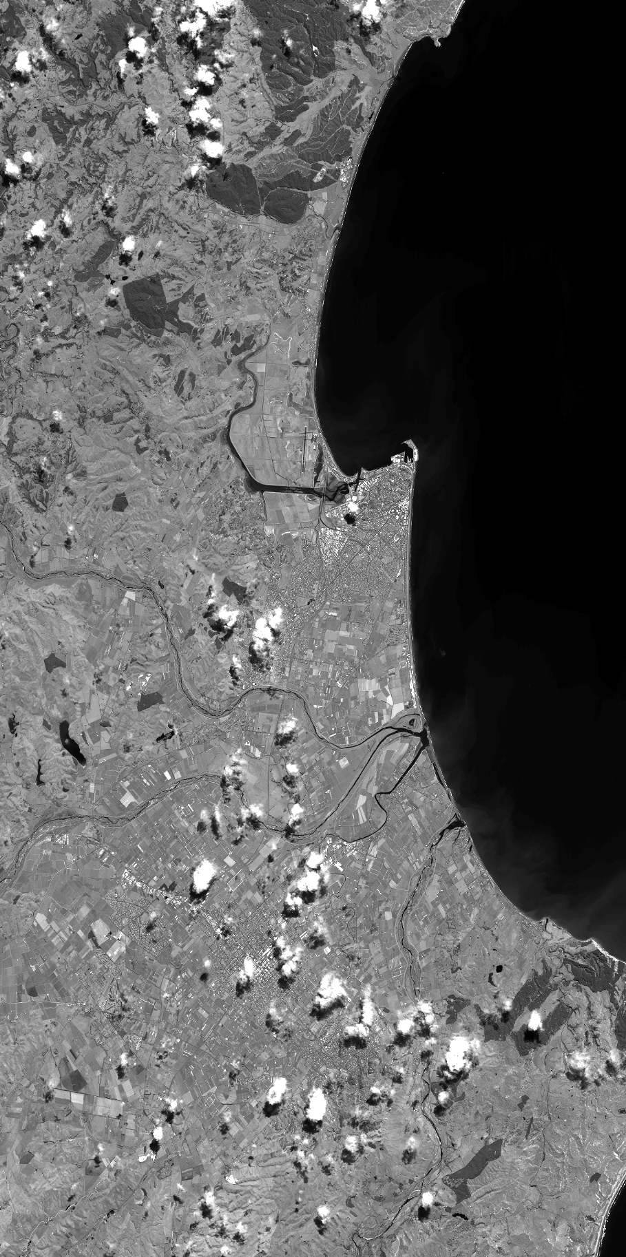
DS_PHR1B_201301272157174_FR1_PX_E176S40_1112_03596
FORMAT:
DIMAP
RASTER:
image/jp2
General Information
Map Name
Geometric Processing Level
Radiometric Processing Level
BASIC
Image dimensions
Number of columns
40000
Number of rows
80384
Number of spectral bands
1
Dataset framing
Vertice
Longitude (DEG)
Latitude (DEG)
Row
Col
#1
176.7177441722138
-39.31044984275174
#2
177.0292511751288
-39.3296841163735
#3
177.0266553350053
-39.74591411477593
#4
176.7169040169246
-39.73263188755778
Dataset sources
PHR
Coordinate Reference System
Projected Coordinate System
Geocoding tables identification
EPSG(6.3)
Production
Production Date
2014-10-21T16:07:04.460
Job identification
IPU_20141021_4185-003
Dataset Producer Identification
Astrium Services / Spot Image
Producer link
http://www.astrium-geo.com
Quicklook
Copyright