TYPE:
SENSOR
LAYER:
DS_PHR1B_201301272157391_FR1_PX_E176S40_1112_03488
FORMAT:
DIMAP
RASTER:
image/jp2
General Information
Map Name
Geometric Processing Level
Radiometric Processing Level
BASIC
Image dimensions
Number of columns
10000
Number of rows
19489
Number of spectral bands
4
Dataset framing
Vertice
Longitude (DEG)
Latitude (DEG)
Row
Col
#1
176.7187134892253
-39.29474113490191
1
#2
177.0272897205021
-39.33405419492659
#3
177.0247780769849
-39.76315710583538
#4
176.7185973391672
-39.72966970921245
Dataset sources
PHR
Coordinate Reference System
Projected Coordinate System
Geocoding tables identification
EPSG(6.3)
Production
Production Date
2014-10-21T16:01:12.972
Job identification
IPU_20141021_4158-004
Dataset Producer Identification
Astrium Services / Spot Image
Producer link
http://www.astrium-geo.com
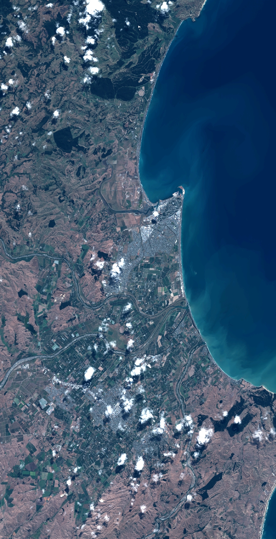
Quicklook
Copyright