TYPE:
SENSOR
LAYER:
DS_PHR1B_201302082205223_FR1_PX_E176S40_1012_03776
FORMAT:
DIMAP
RASTER:
image/jp2
General Information
Map Name
Geometric Processing Level
Radiometric Processing Level
BASIC
Image dimensions
Number of columns
40000
Number of rows
84436
Number of spectral bands
1
Dataset framing
Vertice
Longitude (DEG)
Latitude (DEG)
Row
Col
#1
176.6891500543262
-39.31344095269412
#2
176.9503957332949
-39.3286200896734
#3
176.949364388854
-39.74663958735081
#4
176.6876761995931
-39.73313446959128
Dataset sources
PHR
Coordinate Reference System
Projected Coordinate System
Geocoding tables identification
EPSG(6.3)
Production
Production Date
2014-10-21T15:49:23.997
Job identification
IPU_20141021_4233-003
Dataset Producer Identification
Astrium Services / Spot Image
Producer link
http://www.astrium-geo.com
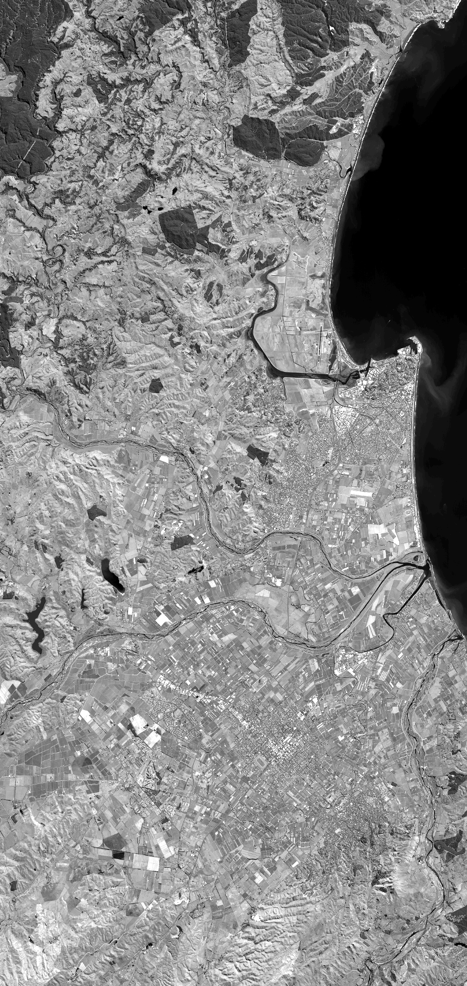
Quicklook
Copyright