TYPE:
SENSOR
LAYER:
DS_PHR1B_201302112231086_FR1_PX_E176S40_1112_03615
FORMAT:
DIMAP
RASTER:
image/jp2
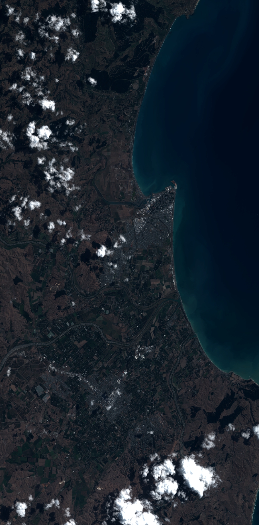
General Information
Map Name
Geometric Processing Level
Radiometric Processing Level
BASIC
Image dimensions
Number of columns
10000
Number of rows
20203
Number of spectral bands
4
Dataset framing
Vertice
Longitude (DEG)
Latitude (DEG)
Row
Col
#1
176.7203690546227
-39.30642811960825
1
#2
177.0172291538556
-39.33087866248344
#3
177.0178221681642
-39.76072337722445
#4
176.7167447011019
-39.72923311349071
Dataset sources
PHR
Coordinate Reference System
Projected Coordinate System
Geocoding tables identification
EPSG(6.3)
Production
Production Date
2014-10-21T15:48:48.130
Job identification
IPU_20141021_4244-004
Dataset Producer Identification
Astrium Services / Spot Image
Producer link
http://www.astrium-geo.com
Quicklook
Copyright