TYPE:
SENSOR
LAYER:
DS_PHR1B_201301042225168_FR1_PX_E176S40_1112_03841
FORMAT:
DIMAP
RASTER:
image/jp2
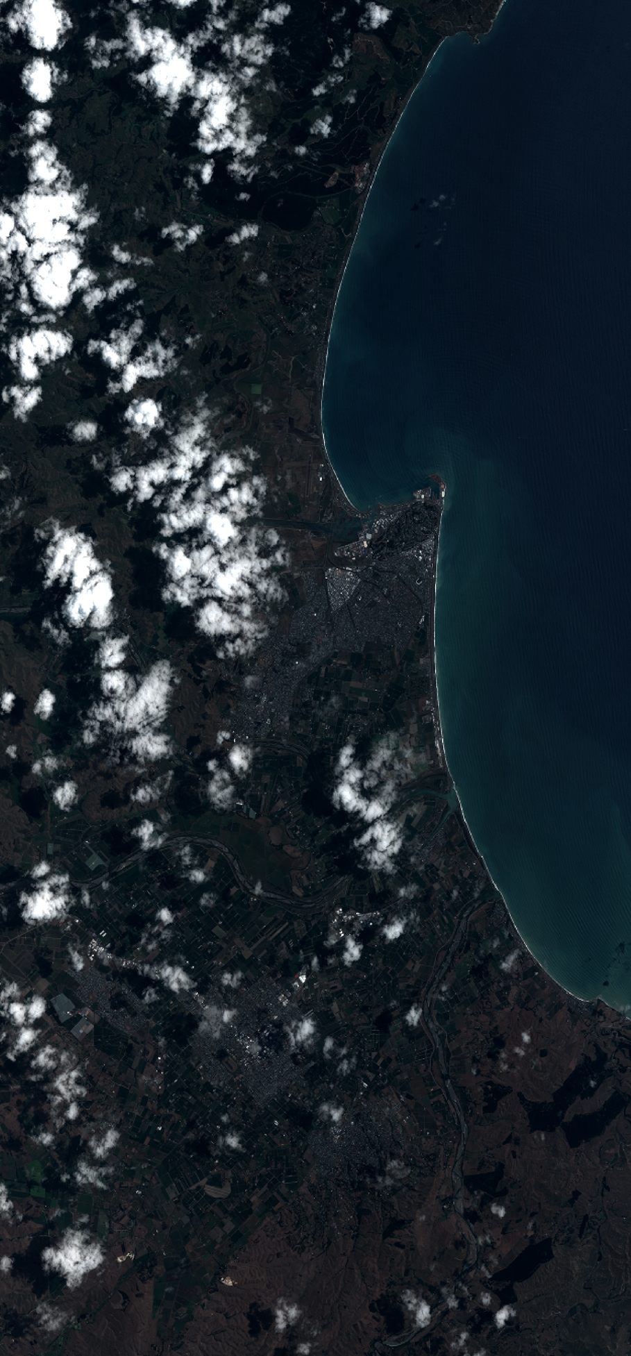
General Information
Map Name
Geometric Processing Level
Radiometric Processing Level
BASIC
Image dimensions
Number of columns
10000
Number of rows
21475
Number of spectral bands
4
Dataset framing
Vertice
Longitude (DEG)
Latitude (DEG)
Row
Col
#1
176.740012906708
-39.32040512140455
1
#2
176.9996423324495
-39.32781238095276
#3
176.9998023546627
-39.74179837589752
#4
176.736935085322
-39.72970401744978
Dataset sources
PHR
Coordinate Reference System
Projected Coordinate System
Geocoding tables identification
EPSG(6.3)
Production
Production Date
2014-10-21T16:30:58.733
Job identification
IPU_20141021_4344-004
Dataset Producer Identification
Astrium Services / Spot Image
Producer link
http://www.astrium-geo.com
Quicklook
Copyright