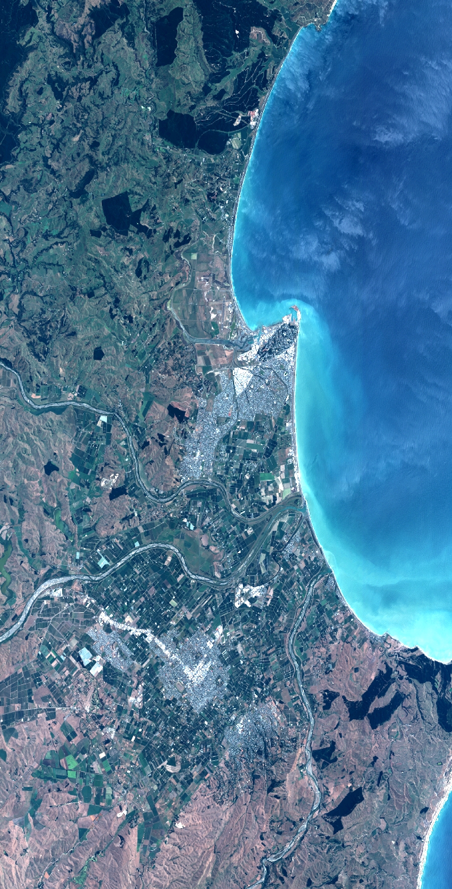
TYPE:
SENSOR
LAYER:
DS_PHR1B_201301092234459_FR1_PX_E176S40_1112_03521
FORMAT:
DIMAP
RASTER:
image/jp2
General Information
Map Name
Geometric Processing Level
Radiometric Processing Level
BASIC
Image dimensions
Number of columns
10000
Number of rows
19674
Number of spectral bands
4
Dataset framing
Vertice
Longitude (DEG)
Latitude (DEG)
Row
Col
#1
176.70309811992
-39.31078698663762
1
#2
177.0335123720091
-39.33054183090343
#3
177.0341119440454
-39.75907454676248
#4
176.6989584827597
-39.73036987642094
Dataset sources
PHR
Coordinate Reference System
Projected Coordinate System
Geocoding tables identification
EPSG(6.3)
Production
Production Date
2014-10-21T16:26:48.554
Job identification
IPU_20141021_4394-004
Dataset Producer Identification
Astrium Services / Spot Image
Producer link
http://www.astrium-geo.com
Quicklook
Copyright