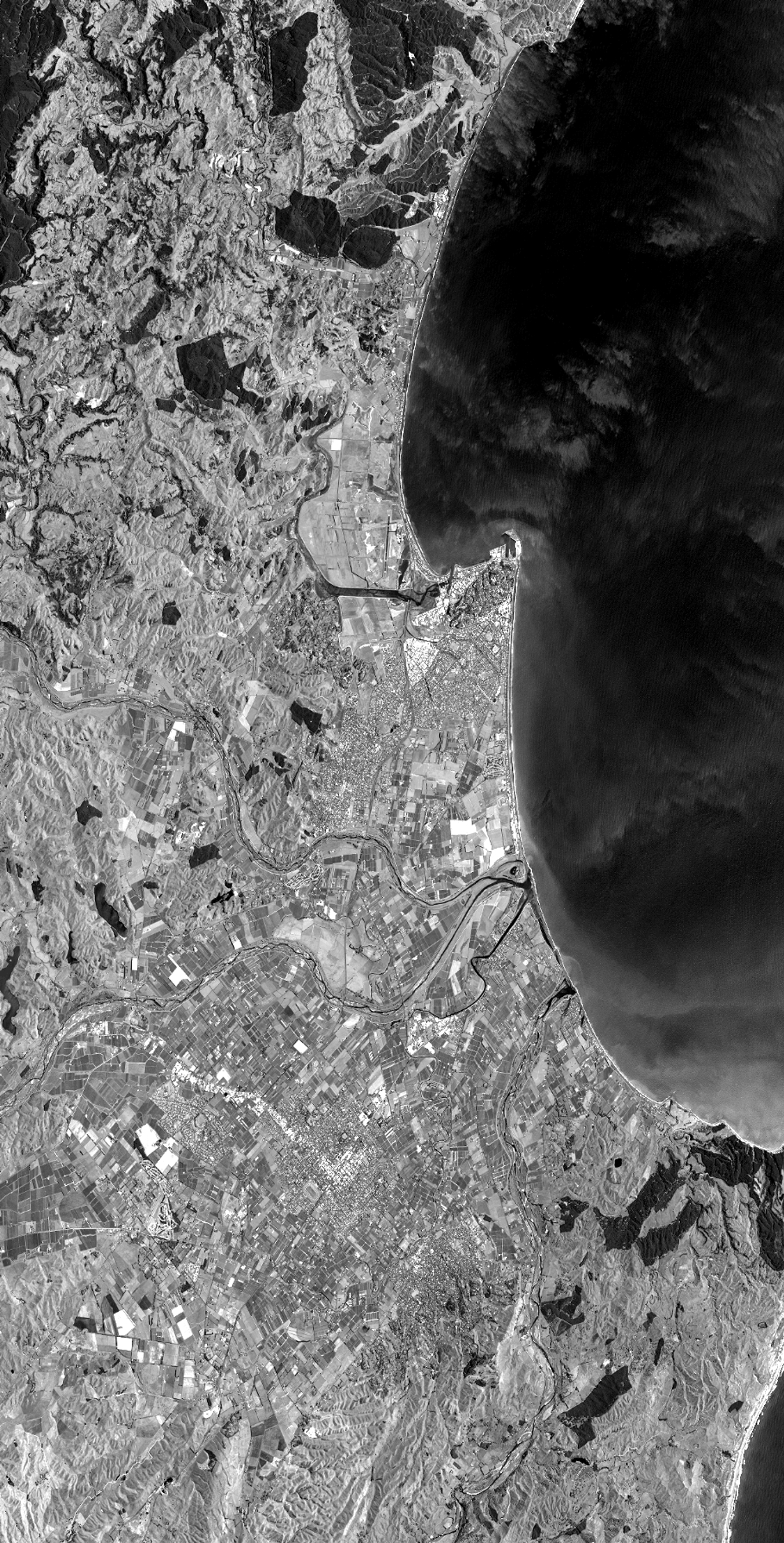
TYPE:
SENSOR
LAYER:
DS_PHR1B_201301092234459_FR1_PX_E176S40_1112_03521
FORMAT:
DIMAP
RASTER:
image/jp2
General Information
Map Name
Geometric Processing Level
Radiometric Processing Level
BASIC
Image dimensions
Number of columns
40000
Number of rows
78696
Number of spectral bands
1
Dataset framing
Vertice
Longitude (DEG)
Latitude (DEG)
Row
Col
#1
176.7031116532662
-39.31079601048988
#2
177.0335251216605
-39.33055069443392
#3
177.0341245294212
-39.7590837950148
#4
176.6989673349835
-39.73037815527254
Dataset sources
PHR
Coordinate Reference System
Projected Coordinate System
Geocoding tables identification
EPSG(6.3)
Production
Production Date
2014-10-21T16:27:09.997
Job identification
IPU_20141021_4394-003
Dataset Producer Identification
Astrium Services / Spot Image
Producer link
http://www.astrium-geo.com
Quicklook
Copyright