TYPE:
SENSOR
LAYER:
DS_PHR1B_201301092235050_FR1_PX_E176S40_1112_03473
FORMAT:
DIMAP
RASTER:
image/jp2
General Information
Map Name
Geometric Processing Level
Radiometric Processing Level
BASIC
Image dimensions
Number of columns
10000
Number of rows
19404
Number of spectral bands
4
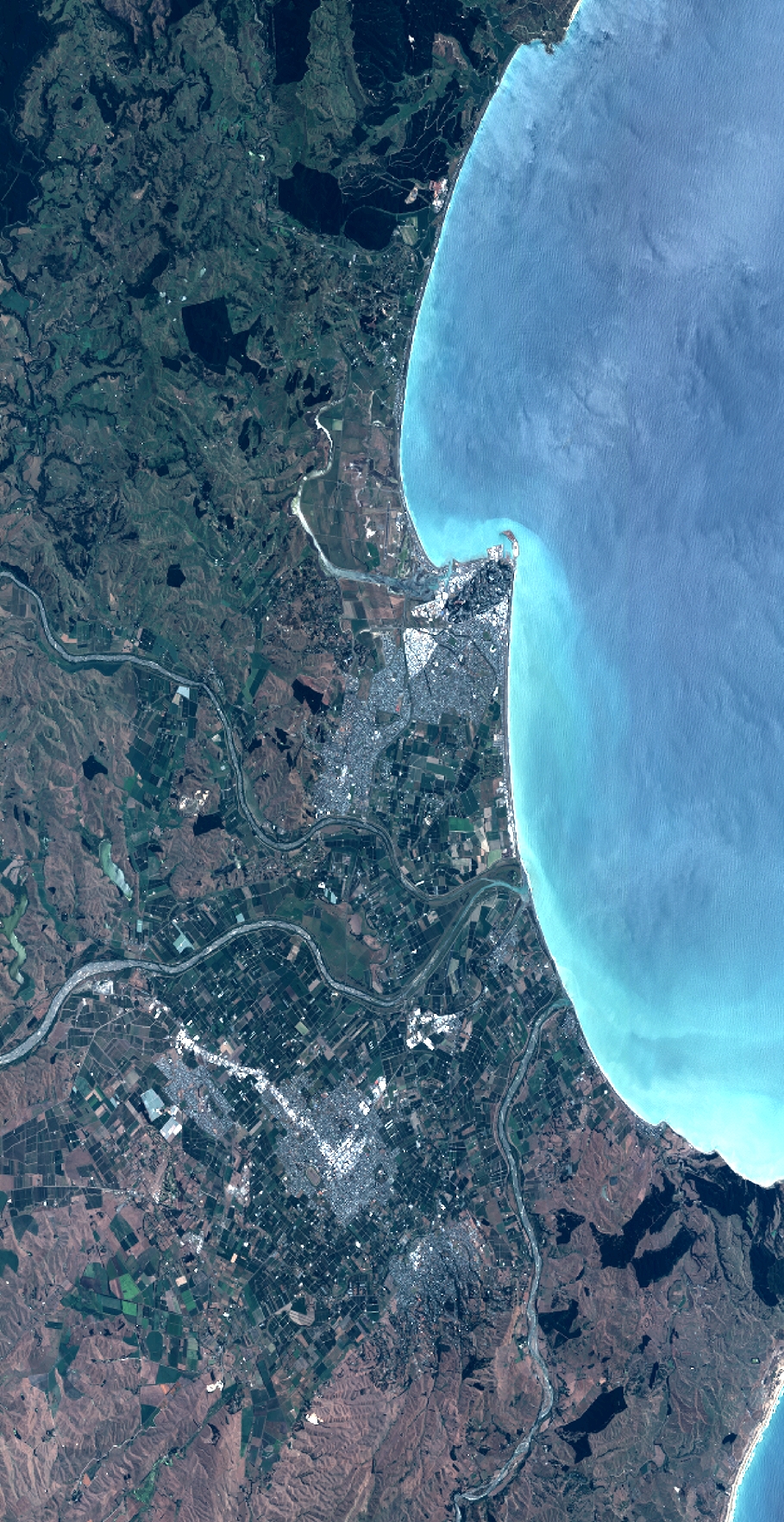
Dataset framing
Vertice
Longitude (DEG)
Latitude (DEG)
Row
Col
#1
176.6994705747085
-39.3280641761331
1
#2
177.0371908928801
-39.3233818589168
#3
177.0377438710232
-39.74225368249164
#4
176.6950006709238
-39.73787666145141
Dataset sources
PHR
Coordinate Reference System
Projected Coordinate System
Geocoding tables identification
EPSG(6.3)
Production
Production Date
2014-10-21T16:30:40.342
Job identification
IPU_20141021_4373-004
Dataset Producer Identification
Astrium Services / Spot Image
Producer link
http://www.astrium-geo.com
Quicklook
Copyright