TYPE:
SENSOR
LAYER:
DS_PHR1B_201301182216106_FR1_PX_E176S40_1112_03974
FORMAT:
DIMAP
RASTER:
image/jp2
General Information
Map Name
Geometric Processing Level
Radiometric Processing Level
BASIC
Image dimensions
Number of columns
40000
Number of rows
88896
Number of spectral bands
1
Dataset framing
Vertice
Longitude (DEG)
Latitude (DEG)
Row
Col
#1
176.7524626467708
-39.32953774678896
#2
176.9889646575706
-39.32840394335997
#3
176.9883199463618
-39.73338022043745
#4
176.7502431288747
-39.73275647189975
Dataset sources
PHR
Coordinate Reference System
Projected Coordinate System
Geocoding tables identification
EPSG(6.3)
Production
Production Date
2014-10-21T16:37:16.380
Job identification
IPU_20141021_4423-003
Dataset Producer Identification
Astrium Services / Spot Image
Producer link
http://www.astrium-geo.com
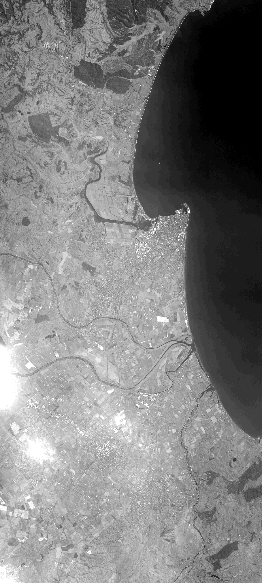
Quicklook
Copyright