TYPE:
SENSOR
LAYER:
DS_PHR1B_201301272157174_FR1_PX_E176S40_1112_03596
FORMAT:
DIMAP
RASTER:
image/jp2
General Information
Map Name
Geometric Processing Level
Radiometric Processing Level
BASIC
Image dimensions
Number of columns
10000
Number of rows
20096
Number of spectral bands
4
Dataset framing
Vertice
Longitude (DEG)
Latitude (DEG)
Row
Col
#1
176.7177309121955
-39.3104408554433
1
#2
177.0292397505061
-39.32967559700092
#3
177.0266437833223
-39.74590588190474
#4
176.7168930108085
-39.73262368557783
Dataset sources
PHR
Coordinate Reference System
Projected Coordinate System
Geocoding tables identification
EPSG(6.3)
Production
Production Date
2014-10-21T16:00:43.978
Job identification
IPU_20141021_4185-004
Dataset Producer Identification
Astrium Services / Spot Image
Producer link
http://www.astrium-geo.com
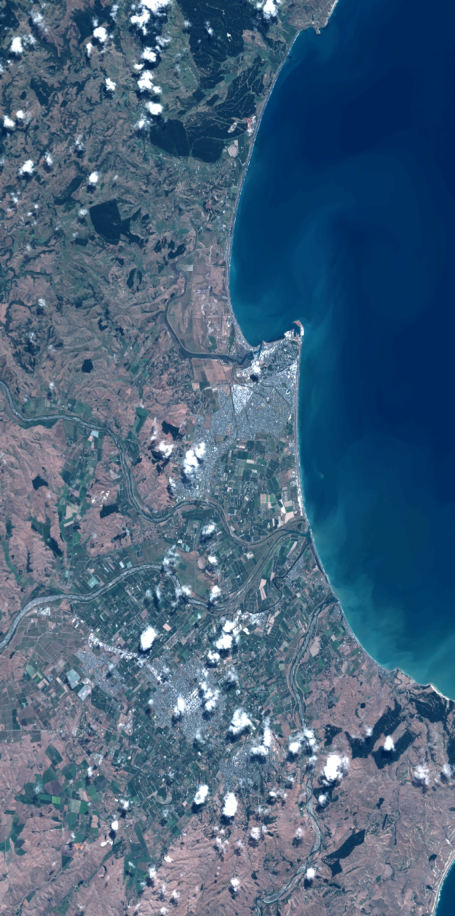
Quicklook
Copyright