TYPE:
SENSOR
LAYER:
DS_PHR1B_201301272157391_FR1_PX_E176S40_1112_03488
FORMAT:
DIMAP
RASTER:
image/jp2
General Information
Map Name
Geometric Processing Level
Radiometric Processing Level
BASIC
Image dimensions
Number of columns
40000
Number of rows
77956
Number of spectral bands
1
Dataset framing
Vertice
Longitude (DEG)
Latitude (DEG)
Row
Col
#1
176.7187235401561
-39.29475017794056
#2
177.0273010721275
-39.33406399220144
#3
177.0247894900935
-39.76316657564314
#4
176.7186085867421
-39.7296790563104
Dataset sources
PHR
Coordinate Reference System
Projected Coordinate System
Geocoding tables identification
EPSG(6.3)
Production
Production Date
2014-10-21T16:08:06.300
Job identification
IPU_20141021_4158-003
Dataset Producer Identification
Astrium Services / Spot Image
Producer link
http://www.astrium-geo.com
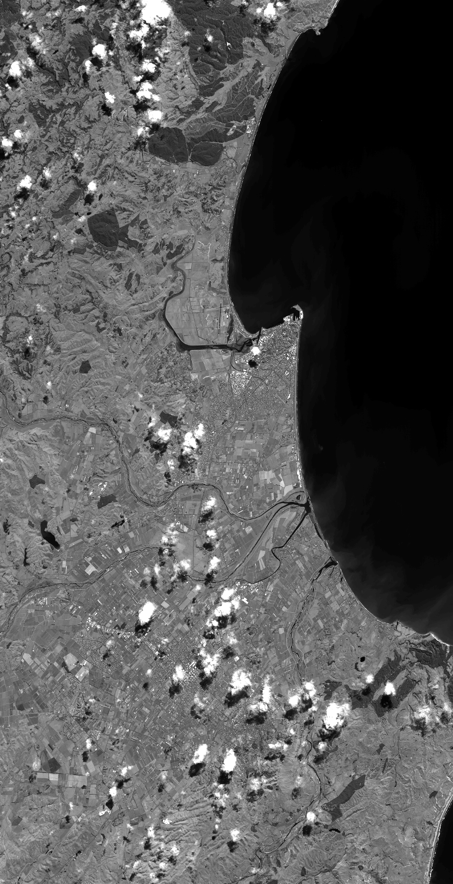
Quicklook
Copyright