TYPE:
SENSOR
LAYER:
DS_PHR1B_201302082204450_FR1_PX_E176S40_1012_03765
FORMAT:
DIMAP
RASTER:
image/jp2
General Information
Map Name
Geometric Processing Level
Radiometric Processing Level
BASIC
Image dimensions
Number of columns
10000
Number of rows
21047
Number of spectral bands
4
Dataset framing
Vertice
Longitude (DEG)
Latitude (DEG)
Row
Col
#1
176.6842580545654
-39.32753835848442
1
#2
176.956001160822
-39.32119655621029
#3
176.9546395919057
-39.72947476337781
#4
176.6832555748394
-39.73959614113461
Dataset sources
PHR
Coordinate Reference System
Projected Coordinate System
Geocoding tables identification
EPSG(6.3)
Production
Production Date
2014-10-21T15:49:28.051
Job identification
IPU_20141021_4206-004
Dataset Producer Identification
Astrium Services / Spot Image
Producer link
http://www.astrium-geo.com
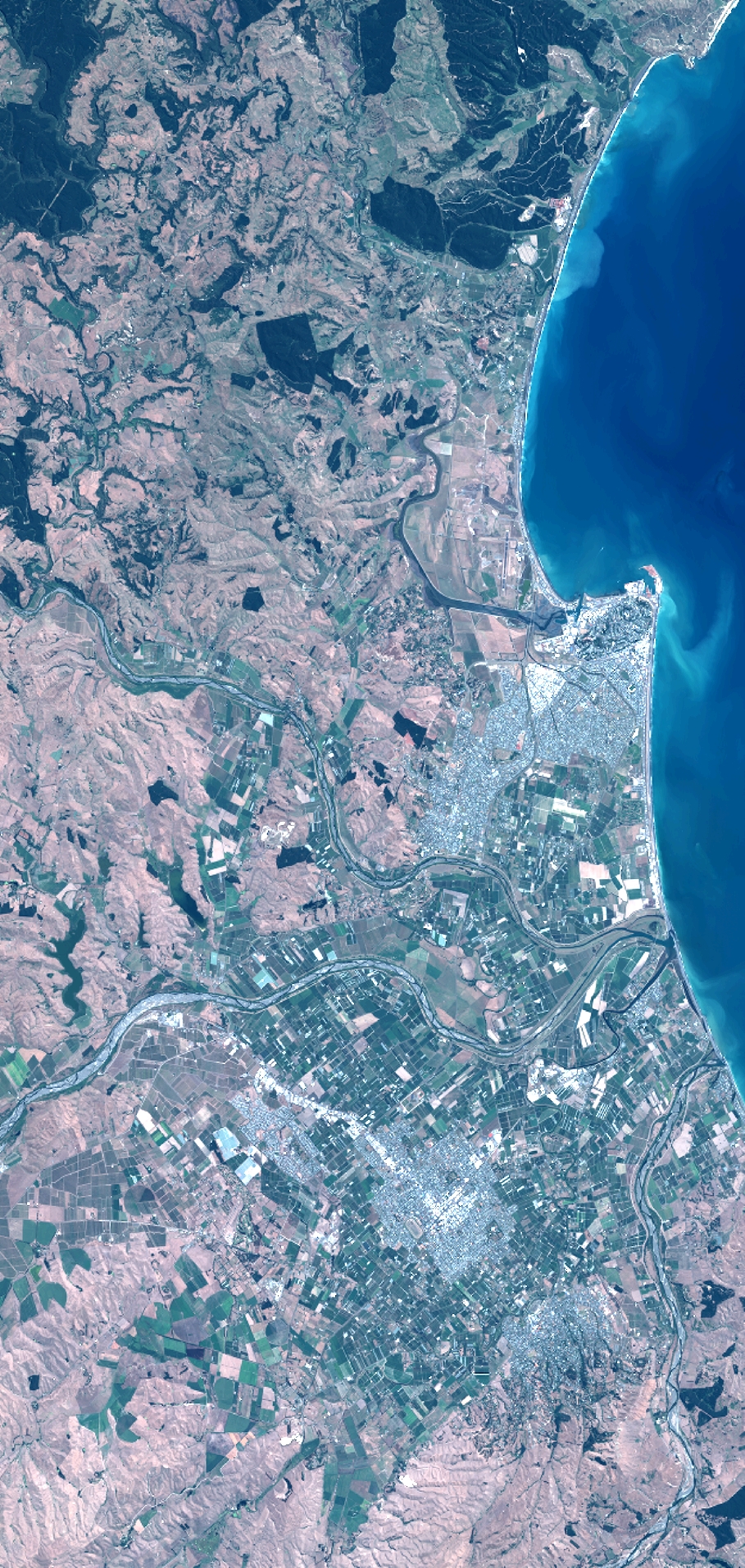
Quicklook
Copyright