TYPE:
SENSOR
LAYER:
DS_PHR1B_201302082204450_FR1_PX_E176S40_1012_03765
FORMAT:
DIMAP
RASTER:
image/jp2
General Information
Map Name
Geometric Processing Level
Radiometric Processing Level
BASIC
Image dimensions
Number of columns
40000
Number of rows
84188
Number of spectral bands
1
Dataset framing
Vertice
Longitude (DEG)
Latitude (DEG)
Row
Col
#1
176.6842682089443
-39.32754551660928
#2
176.9560111893418
-39.32120360201886
#3
176.9546497421855
-39.7294816460664
#4
176.6832675559753
-39.73960272133835
Dataset sources
PHR
Coordinate Reference System
Projected Coordinate System
Geocoding tables identification
EPSG(6.3)
Production
Production Date
2014-10-21T15:49:46.884
Job identification
IPU_20141021_4206-003
Dataset Producer Identification
Astrium Services / Spot Image
Producer link
http://www.astrium-geo.com
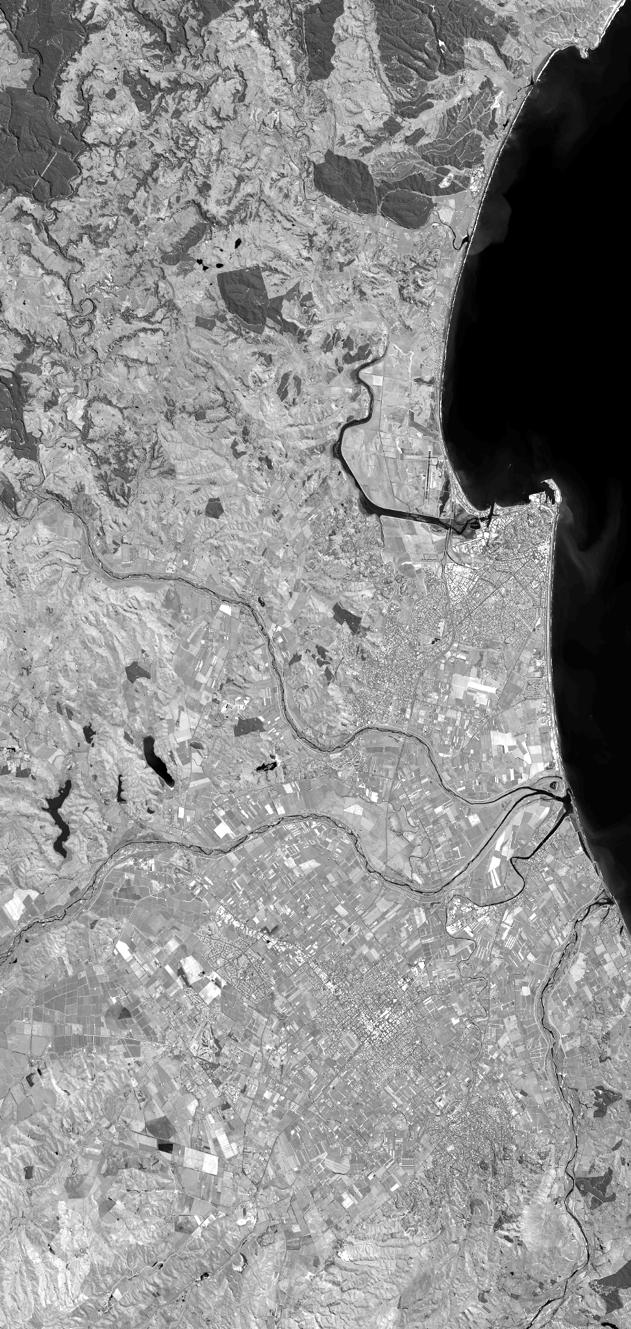
Quicklook
Copyright