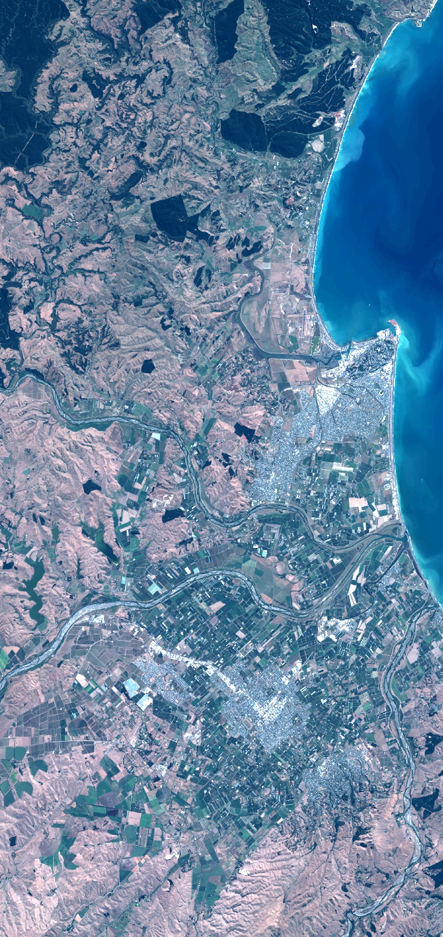
TYPE:
SENSOR
LAYER:
DS_PHR1B_201302082205223_FR1_PX_E176S40_1012_03776
FORMAT:
DIMAP
RASTER:
image/jp2
General Information
Map Name
Geometric Processing Level
Radiometric Processing Level
BASIC
Image dimensions
Number of columns
10000
Number of rows
21109
Number of spectral bands
4
Dataset framing
Vertice
Longitude (DEG)
Latitude (DEG)
Row
Col
#1
176.6891403621679
-39.31343295647969
1
#2
176.9503860055793
-39.32861203816468
#3
176.9493525707236
-39.74663014910577
#4
176.6876655971296
-39.73312604327297
Dataset sources
PHR
Coordinate Reference System
Projected Coordinate System
Geocoding tables identification
EPSG(6.3)
Production
Production Date
2014-10-21T15:50:17.447
Job identification
IPU_20141021_4233-004
Dataset Producer Identification
Astrium Services / Spot Image
Producer link
http://www.astrium-geo.com
Quicklook
Copyright