TYPE:
SENSOR
LAYER:
DS_PHR1B_201302112231289_FR1_PX_E176S40_1112_03615
FORMAT:
DIMAP
RASTER:
image/jp2
General Information
Map Name
Geometric Processing Level
Radiometric Processing Level
BASIC
Image dimensions
Number of columns
10000
Number of rows
20203
Number of spectral bands
4
Dataset framing
Vertice
Longitude (DEG)
Latitude (DEG)
Row
Col
#1
176.7198788893155
-39.32460351235588
1
#2
177.0180210604516
-39.32901443332547
#3
177.0186878888957
-39.74126227290388
#4
176.7162115666554
-39.72964665252949
Dataset sources
PHR
Coordinate Reference System
Projected Coordinate System
Geocoding tables identification
EPSG(6.3)
Production
Production Date
2014-10-21T15:52:03.330
Job identification
IPU_20141021_4257-004
Dataset Producer Identification
Astrium Services / Spot Image
Producer link
http://www.astrium-geo.com
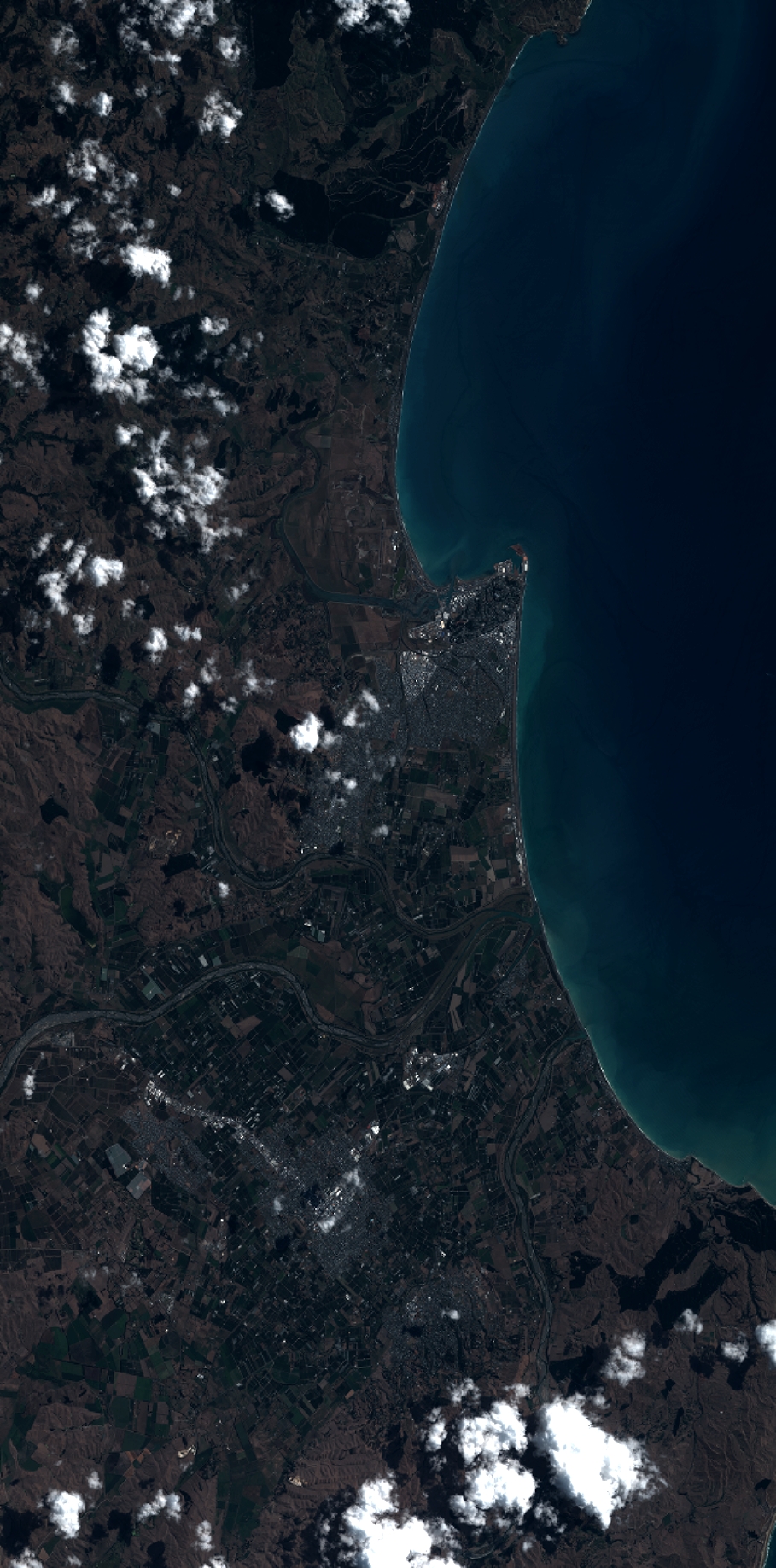
Quicklook
Copyright