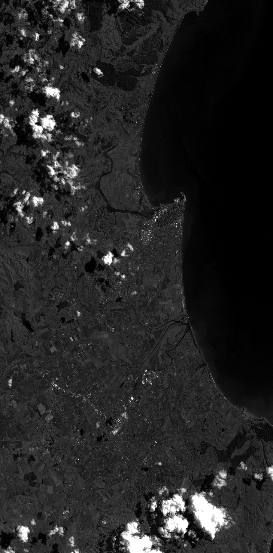
TYPE:
SENSOR
LAYER:
DS_PHR1B_201302112231289_FR1_PX_E176S40_1112_03615
FORMAT:
DIMAP
RASTER:
image/jp2
General Information
Map Name
Geometric Processing Level
Radiometric Processing Level
BASIC
Image dimensions
Number of columns
40000
Number of rows
80812
Number of spectral bands
1
Dataset framing
Vertice
Longitude (DEG)
Latitude (DEG)
Row
Col
#1
176.7198905981358
-39.32461125467433
#2
177.0180325540055
-39.3290222093365
#3
177.0186992495067
-39.741270361076
#4
176.7162225899709
-39.72965463426021
Dataset sources
PHR
Coordinate Reference System
Projected Coordinate System
Geocoding tables identification
EPSG(6.3)
Production
Production Date
2014-10-21T15:49:45.400
Job identification
IPU_20141021_4257-003
Dataset Producer Identification
Astrium Services / Spot Image
Producer link
http://www.astrium-geo.com
Quicklook
Copyright