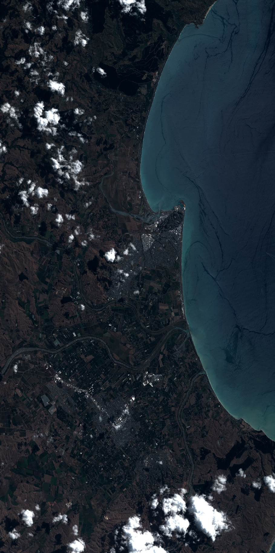
TYPE:
SENSOR
LAYER:
DS_PHR1B_201302112231476_FR1_PX_E176S40_1112_03596
FORMAT:
DIMAP
RASTER:
image/jp2
General Information
Map Name
Geometric Processing Level
Radiometric Processing Level
BASIC
Image dimensions
Number of columns
10000
Number of rows
20096
Number of spectral bands
4
Dataset framing
Vertice
Longitude (DEG)
Latitude (DEG)
Row
Col
#1
176.714176152805
-39.32967881738407
1
#2
177.0231563810432
-39.31343032259218
#3
177.0236272900254
-39.73281379452629
#4
176.7108751677501
-39.74122377065243
Dataset sources
PHR
Coordinate Reference System
Projected Coordinate System
Geocoding tables identification
EPSG(6.3)
Production
Production Date
2014-10-21T16:36:07.576
Job identification
IPU_20141021_4267-004
Dataset Producer Identification
Astrium Services / Spot Image
Producer link
http://www.astrium-geo.com
Quicklook
Copyright