TYPE:
SENSOR
LAYER:
DS_PHR1B_201302182227316_FR1_PX_E176S40_1112_03729
FORMAT:
DIMAP
RASTER:
image/jp2
General Information
Map Name
Geometric Processing Level
Radiometric Processing Level
BASIC
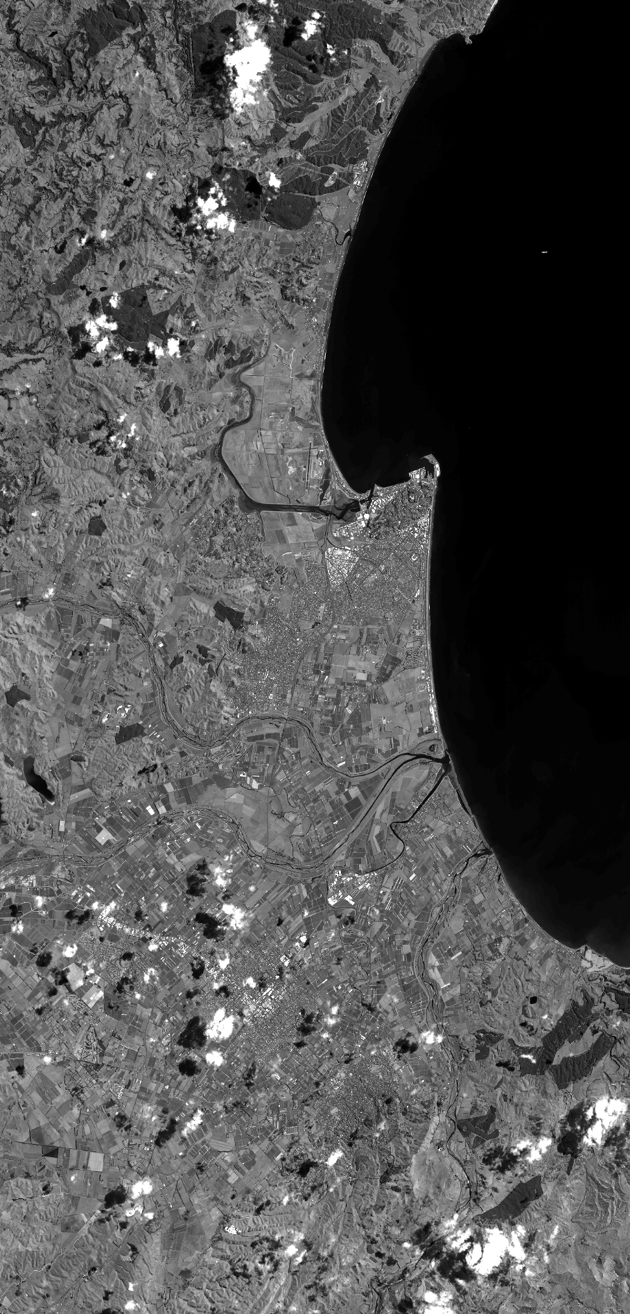
Image dimensions
Number of columns
40000
Number of rows
83380
Number of spectral bands
1
Dataset framing
Vertice
Longitude (DEG)
Latitude (DEG)
Row
Col
#1
176.7339429009058
-39.3129064281801
#2
177.0052978661855
-39.32927937803955
#3
177.0054398564897
-39.75198762332037
#4
176.7309541742446
-39.73059836785806
Dataset sources
PHR
Coordinate Reference System
Projected Coordinate System
Geocoding tables identification
EPSG(6.3)
Production
Production Date
2014-10-21T16:24:37.003
Job identification
IPU_20141021_4278-003
Dataset Producer Identification
Astrium Services / Spot Image
Producer link
http://www.astrium-geo.com
Quicklook
Copyright