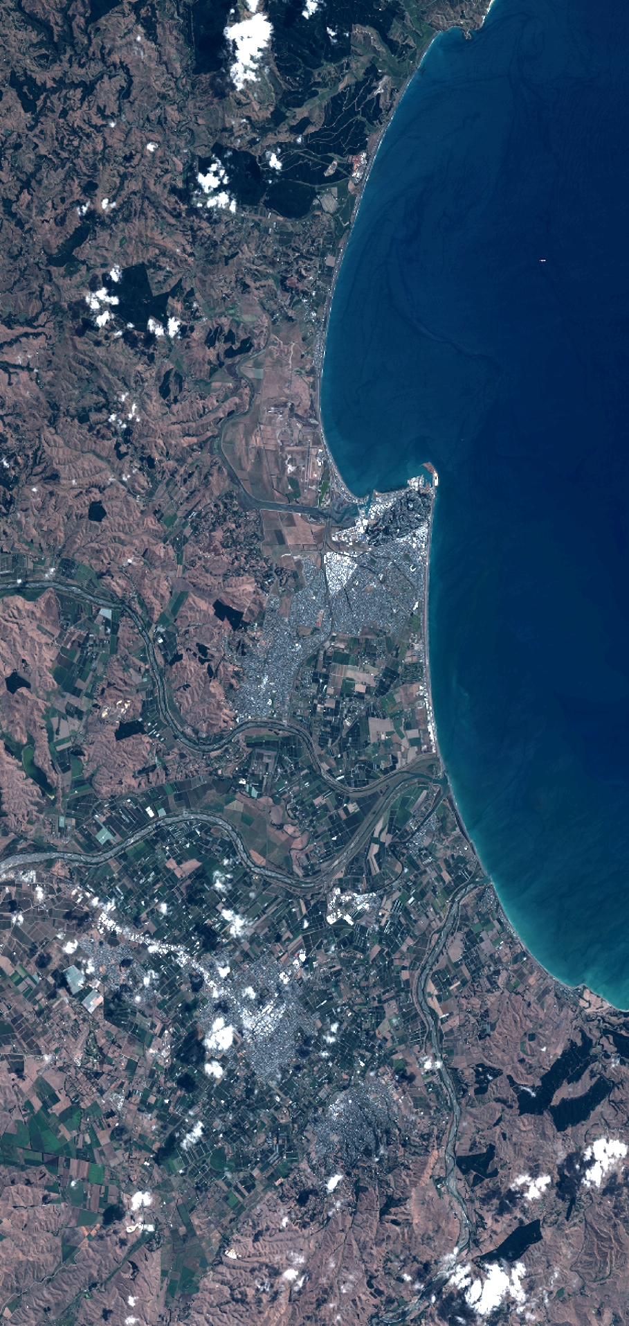
TYPE:
SENSOR
LAYER:
DS_PHR1B_201302182227519_FR1_PX_E176S40_1112_03764
FORMAT:
DIMAP
RASTER:
image/jp2
General Information
Map Name
Geometric Processing Level
Radiometric Processing Level
BASIC
Image dimensions
Number of columns
10000
Number of rows
21042
Number of spectral bands
4
Dataset framing
Vertice
Longitude (DEG)
Latitude (DEG)
Row
Col
#1
176.7333882890958
-39.32621368805852
1
#2
177.0056054757063
-39.32773543558727
#3
177.0055454283039
-39.7378762063291
#4
176.730505383786
-39.73073654119918
Dataset sources
PHR
Coordinate Reference System
Projected Coordinate System
Geocoding tables identification
EPSG(6.3)
Production
Production Date
2014-10-21T16:21:21.749
Job identification
IPU_20141021_4288-004
Dataset Producer Identification
Astrium Services / Spot Image
Producer link
http://www.astrium-geo.com
Quicklook
Copyright