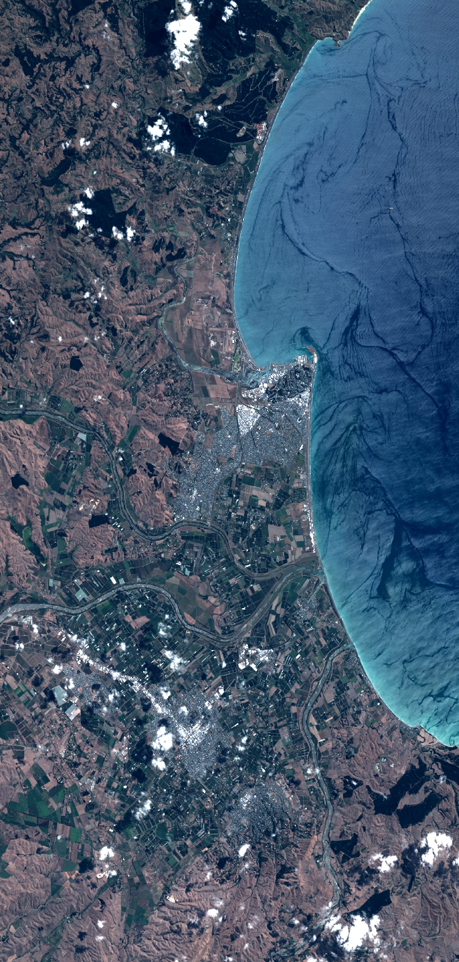
TYPE:
SENSOR
LAYER:
DS_PHR1B_201302182228091_FR1_PX_E176S40_1112_03747
FORMAT:
DIMAP
RASTER:
image/jp2
General Information
Map Name
Geometric Processing Level
Radiometric Processing Level
BASIC
Image dimensions
Number of columns
10000
Number of rows
20946
Number of spectral bands
4
Dataset framing
Vertice
Longitude (DEG)
Latitude (DEG)
Row
Col
#1
176.7283242512813
-39.32908907457905
1
#2
177.0097947308694
-39.31554712437594
#3
177.00987438207
-39.734170475959
#4
176.725645742678
-39.74117540431057
Dataset sources
PHR
Coordinate Reference System
Projected Coordinate System
Geocoding tables identification
EPSG(6.3)
Production
Production Date
2014-10-21T16:21:13.708
Job identification
IPU_20141021_4307-004
Dataset Producer Identification
Astrium Services / Spot Image
Producer link
http://www.astrium-geo.com
Quicklook
Copyright