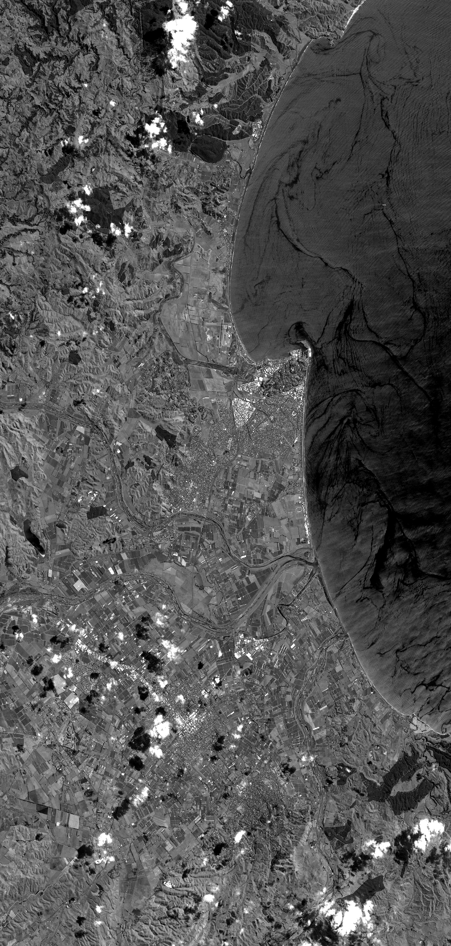
TYPE:
SENSOR
LAYER:
DS_PHR1B_201302182228091_FR1_PX_E176S40_1112_03747
FORMAT:
DIMAP
RASTER:
image/jp2
General Information
Map Name
Geometric Processing Level
Radiometric Processing Level
BASIC
Image dimensions
Number of columns
40000
Number of rows
83784
Number of spectral bands
1
Dataset framing
Vertice
Longitude (DEG)
Latitude (DEG)
Row
Col
#1
176.7283354925494
-39.32909576713762
#2
177.0098054470243
-39.31555409880351
#3
177.0098854676309
-39.7341776077745
#4
176.7256581490078
-39.74118207840142
Dataset sources
PHR
Coordinate Reference System
Projected Coordinate System
Geocoding tables identification
EPSG(6.3)
Production
Production Date
2014-10-21T16:19:07.328
Job identification
IPU_20141021_4307-003
Dataset Producer Identification
Astrium Services / Spot Image
Producer link
http://www.astrium-geo.com
Quicklook
Copyright