TYPE:
SENSOR
LAYER:
DS_PHR1A_201301201910140_FR1_PX_W122N44_1108_01859
FORMAT:
DIMAP
RASTER:
image/jp2
General Information
Map Name
Geometric Processing Level
Radiometric Processing Level
BASIC
Image dimensions
Number of columns
10000
Number of rows
10350
Number of spectral bands
4
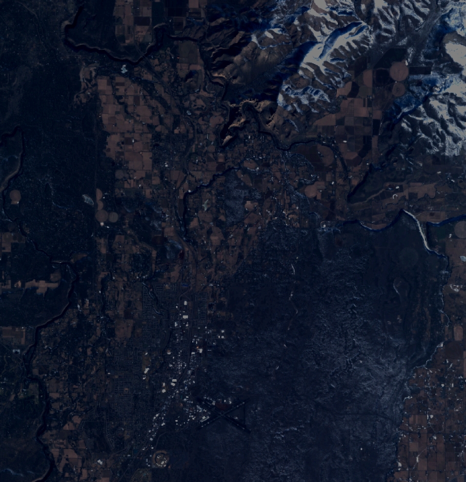
Dataset framing
Vertice
Longitude (DEG)
Latitude (DEG)
Row
Col
#1
-121.2719461434739
44.41413982887649
1
#2
-121.0164299276969
44.41645771215302
#3
-121.0167205873241
44.22883028738622
#4
-121.2720362245319
44.22710668826993
Dataset sources
PHR
Coordinate Reference System
Projected Coordinate System
Geocoding tables identification
EPSG(6.3)
Production
Production Date
2013-08-08T16:13:11.467
Job identification
653273101-004
Dataset Producer Identification
Astrium Services / Spot Image
Producer link
http://www.astrium-geo.com
Quicklook
Copyright