TYPE:
SENSOR
LAYER:
DS_PHR1A_201301201909528_FR1_PX_W122N44_1108_01840
FORMAT:
DIMAP
RASTER:
image/jp2
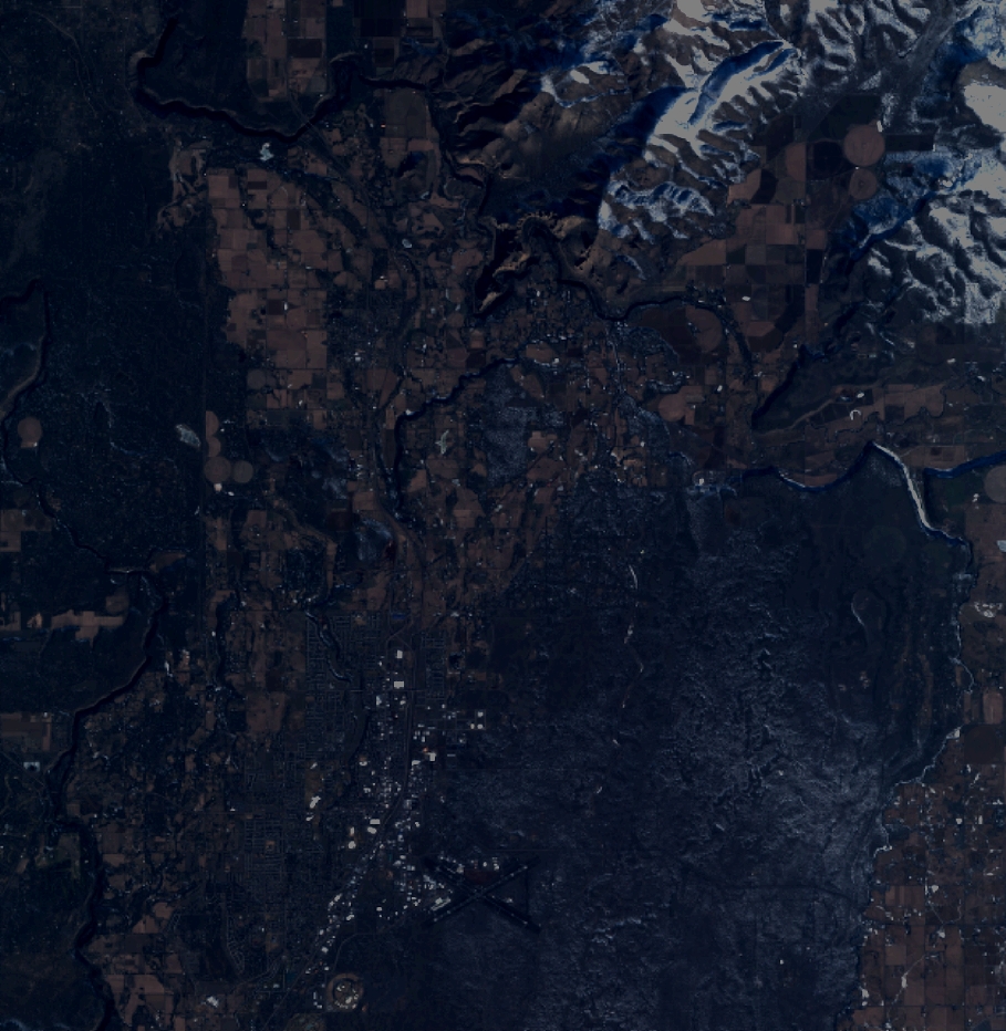
General Information
Map Name
Geometric Processing Level
Radiometric Processing Level
BASIC
Image dimensions
Number of columns
10000
Number of rows
10243
Number of spectral bands
4
Dataset framing
Vertice
Longitude (DEG)
Latitude (DEG)
Row
Col
#1
-121.2710381764821
44.41579934246031
1
#2
-121.0171935357573
44.41446267997218
#3
-121.0175645116001
44.22859683255649
#4
-121.2709408307569
44.23042406780058
Dataset sources
PHR
Coordinate Reference System
Projected Coordinate System
Geocoding tables identification
EPSG(6.3)
Production
Production Date
2013-08-08T16:12:15.614
Job identification
653273101-006
Dataset Producer Identification
Astrium Services / Spot Image
Producer link
http://www.astrium-geo.com
Quicklook
Copyright