TYPE:
SENSOR
LAYER:
DS_PHR1A_201301201910140_FR1_PX_W122N44_1108_01859
FORMAT:
DIMAP
RASTER:
image/jp2
General Information
Map Name
Geometric Processing Level
Radiometric Processing Level
BASIC
Image dimensions
Number of columns
40000
Number of rows
41400
Number of spectral bands
1
Dataset framing
Vertice
Longitude (DEG)
Latitude (DEG)
Row
Col
#1
-121.2719365283361
44.41413320881881
#2
-121.0164202754661
44.41645101663374
#3
-121.0167110589432
44.22882351769008
#4
-121.2720267945927
44.22709995651964
Dataset sources
PHR
Coordinate Reference System
Projected Coordinate System
Geocoding tables identification
EPSG(6.3)
Production
Production Date
2013-08-08T16:12:17.568
Job identification
653273101-001
Dataset Producer Identification
Astrium Services / Spot Image
Producer link
http://www.astrium-geo.com
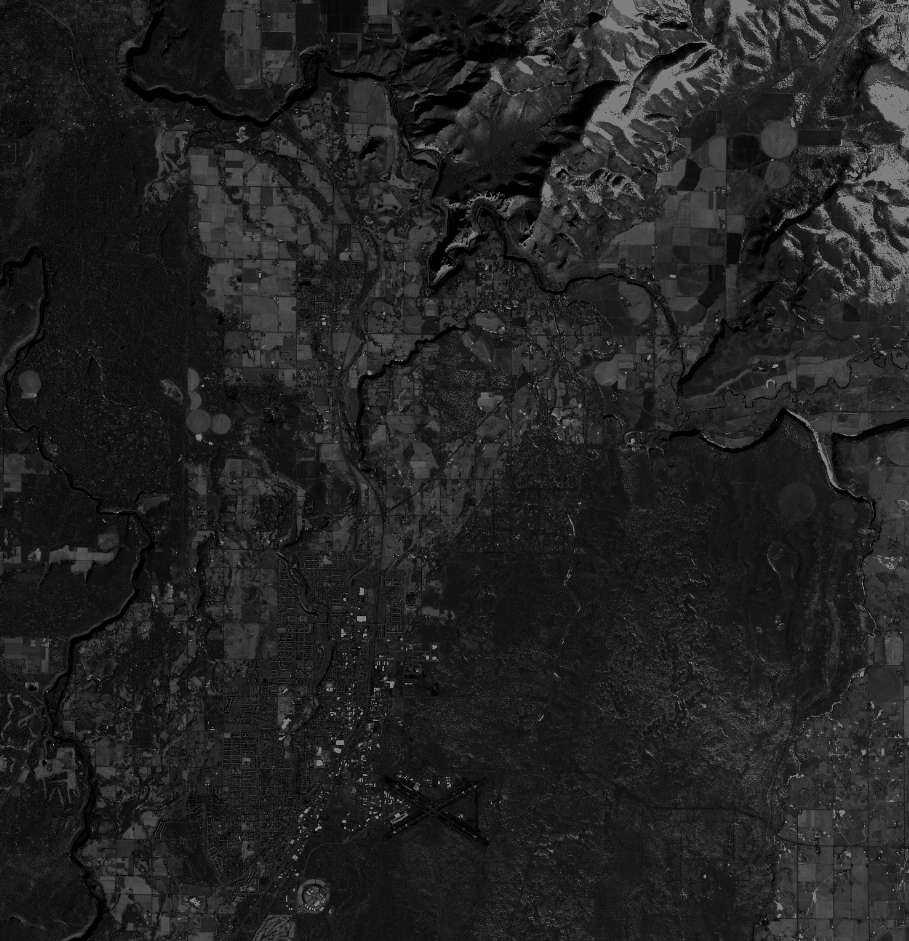
Quicklook
Copyright