TYPE:
SENSOR
LAYER:
DS_PHR1A_201301201910033_FR1_PX_W122N44_1108_01840
FORMAT:
DIMAP
RASTER:
image/jp2
General Information
Map Name
Geometric Processing Level
Radiometric Processing Level
BASIC
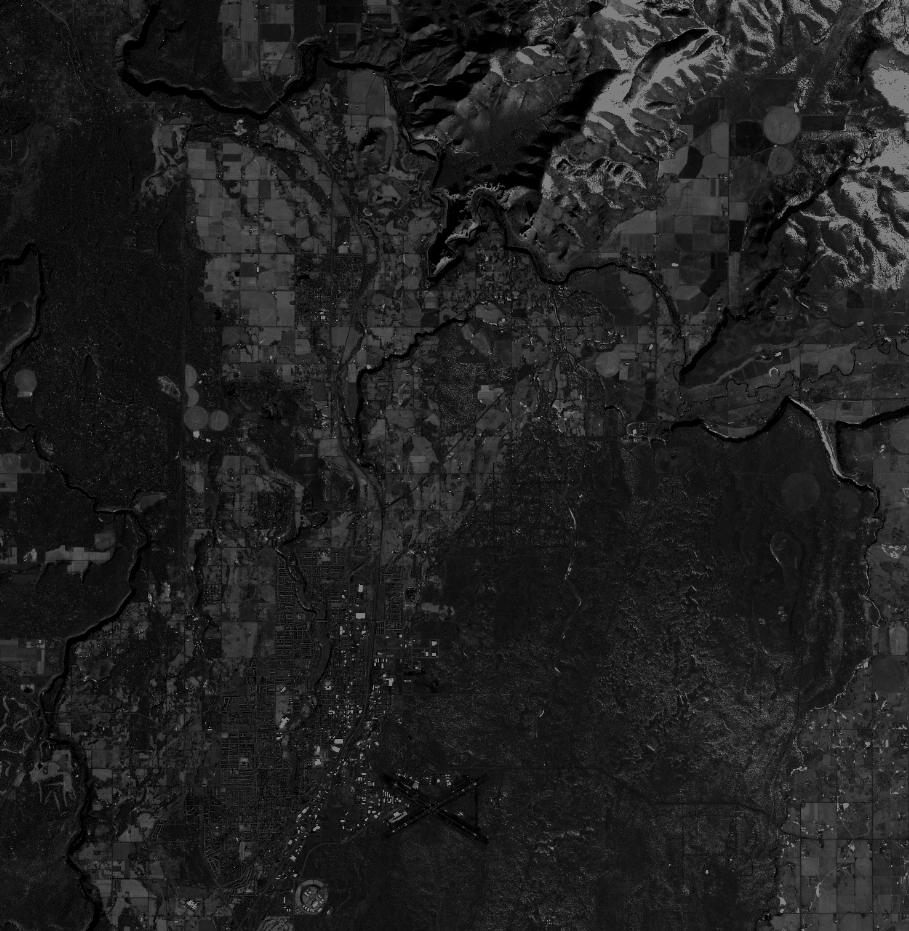
Image dimensions
Number of columns
40000
Number of rows
40972
Number of spectral bands
1
Dataset framing
Vertice
Longitude (DEG)
Latitude (DEG)
Row
Col
#1
-121.2706908291762
44.4131097257952
#2
-121.0176499294659
44.41300342299002
#3
-121.01790173257
44.22947813532681
#4
-121.2706480926575
44.23012959771564
Dataset sources
PHR
Coordinate Reference System
Projected Coordinate System
Geocoding tables identification
EPSG(6.3)
Production
Production Date
2013-08-08T16:12:47.809
Job identification
653273101-002
Dataset Producer Identification
Astrium Services / Spot Image
Producer link
http://www.astrium-geo.com
Quicklook
Copyright