TYPE:
SENSOR
LAYER:
DS_PHR1A_201309231104387_FR1_PX_W001N42_1119_01743
FORMAT:
DIMAP
RASTER:
image/jp2
General Information
Map Name
Geometric Processing Level
Radiometric Processing Level
BASIC
Image dimensions
Number of columns
9157
Number of rows
9410
Number of spectral bands
4
Dataset framing
Vertice
Longitude (DEG)
Latitude (DEG)
Row
Col
#1
-0.2557268559042205
42.8567638381955
1
#2
-0.02140525133570531
42.8641261981395
#3
-0.02476171112505249
42.6843471627683
#4
-0.256601063221084
42.6796829412544
Dataset sources
PHR
Coordinate Reference System
Projected Coordinate System
Geocoding tables identification
EPSG(6.3)
Production
Production Date
2013-12-05T19:37:26.812
Job identification
756965101-003
Dataset Producer Identification
Astrium Services / Spot Image
Producer link
http://www.astrium-geo.com
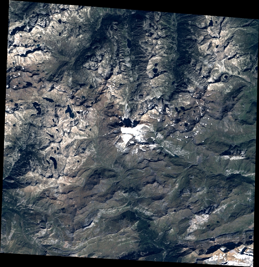
Quicklook
Copyright