TYPE:
SENSOR
LAYER:
DS_PHR1A_201301061104263_FR1_PX_E003N43_0513_01572
FORMAT:
DIMAP
RASTER:
image/jp2
General Information
Map Name
Geometric Processing Level
Radiometric Processing Level
BASIC
Image dimensions
Number of columns
21016
Number of rows
34887
Number of spectral bands
4
Dataset framing
Vertice
Longitude (DEG)
Latitude (DEG)
Row
Col
#1
3.249877206792063
43.6113414248527
1
#2
3.419466499522945
43.61850302021675
#3
3.421325563192601
43.44062779923149
#4
3.251238114988702
43.43495680261753
Dataset sources
PHR
Coordinate Reference System
Projected Coordinate System
Geocoding tables identification
EPSG(6.3)
Production
Production Date
2013-02-01T07:48:42.377
Job identification
601862101-001
Dataset Producer Identification
SISA
Producer link
http://www.spotimage.fr
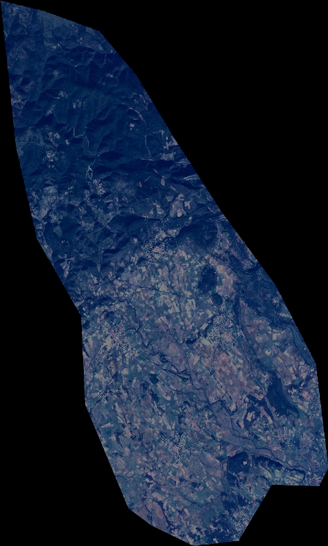
Quicklook
Copyright