Type
Pleiades HR SENSOR Product
Layer
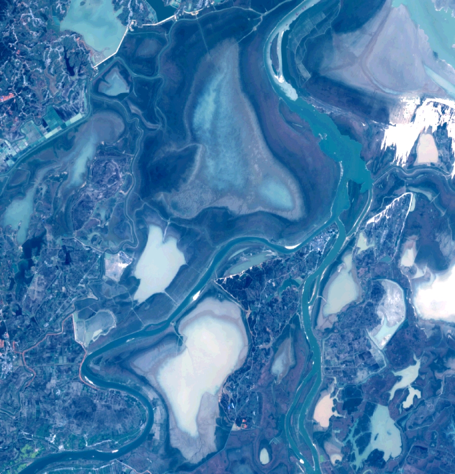
DS_PHR1B_201303050258130_FR1_PX_E115N29_1205_01876
Format
DIMAP_PHR
Raster
image/jp2
General Information
Map Name
Geometric Processing Level
SENSOR
Radiometric Processing
true
Image dimensions
Number of columns
10000
Number of rows
10417
Number of spectral bands
4
Dataset framing
Vertice
Longitude (DEG)
Latitude (DEG)
Upper Left
115.8529990164159
29.28805406384032
Upper Right
116.0714561677276
Lower Rirht
29.08697471353251
Lower Left
Dataset sources
PHR1B
Coordinate Reference System
Horizontal Coordinate System
Geocoding tables identification
EPSG(6.3)
Horizontal Coordinate System type
GEOGRAPHIC
Horizontal coordinate system identification name
WGS84
Geographic Coordinate System
Production
Production Date
2015-07-15T15:56:42.864
Job identification
IPU_20150715_8108-002
Dataset Producer Identification
AIRBUS DS GEO
Producer link
http://
Quicklook