TYPE:
SENSOR
LAYER:
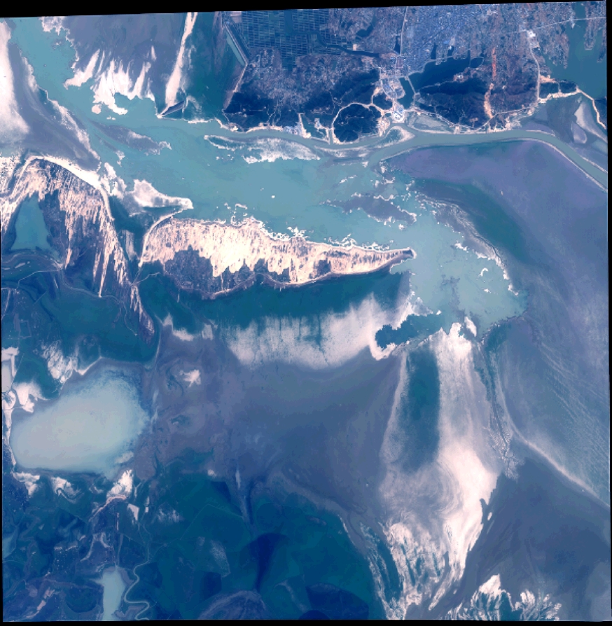
DS_PHR1A_201311070258052_SE1_PX_E116N29_0205_01754
FORMAT:
DIMAP
RASTER:
image/jp2
General Information
Map Name
Geometric Processing Level
Radiometric Processing Level
BASIC
Image dimensions
Number of columns
9601
Number of rows
9836
Number of spectral bands
4
Dataset framing
Vertice
Longitude (DEG)
Latitude (DEG)
Row
Col
#1
116.0473148018118
29.28606483485695
1
#2
116.2545880542445
29.28238530734583
#3
116.2541821949526
29.10285723247748
#4
116.0478772857706
29.10542955680936
Dataset sources
PHR
Coordinate Reference System
Projected Coordinate System
Geocoding tables identification
EPSG(6.3)
Production
Production Date
2013-11-18T17:41:34.204
Job identification
721815101-005
Dataset Producer Identification
Astrium Services / Spot Image
Producer link
http://www.astrium-geo.com
Quicklook
Copyright