TYPE:
SENSOR
LAYER:
DS_PHR1A_201311070258151_SE1_PX_E116N29_0205_01766
FORMAT:
DIMAP
RASTER:
image/jp2
General Information
Map Name
Geometric Processing Level
Radiometric Processing Level
BASIC
Image dimensions
Number of columns
9585
Number of rows
9883
Number of spectral bands
4
Dataset framing
Vertice
Longitude (DEG)
Latitude (DEG)
Row
Col
#1
116.0469928378331
29.28944423319405
1
#2
116.2545699043704
29.28235994594112
#3
116.2541661625913
29.09813520835171
#4
116.0475505033652
29.10415859533695
Dataset sources
PHR
Coordinate Reference System
Projected Coordinate System
Geocoding tables identification
EPSG(6.3)
Production
Production Date
2013-11-18T17:41:54.406
Job identification
721815101-006
Dataset Producer Identification
Astrium Services / Spot Image
Producer link
http://www.astrium-geo.com
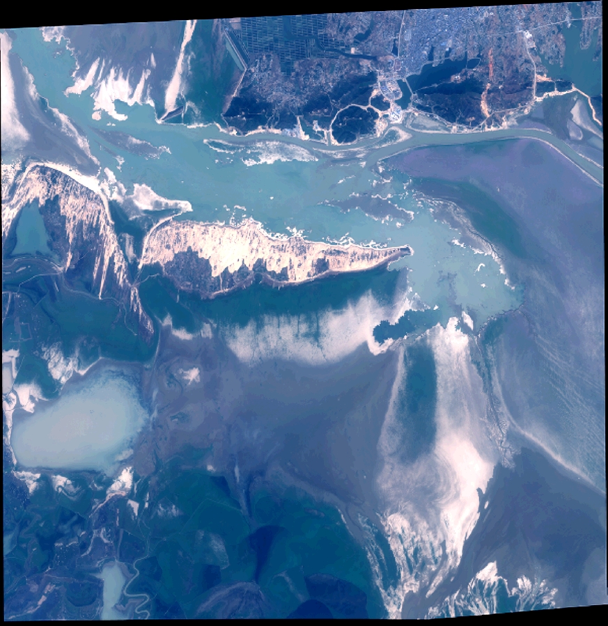
Quicklook
Copyright