TYPE:
SENSOR
LAYER:
DS_PHR1A_201305280632426_FR1_PX_E055S22_0618_01744
FORMAT:
DIMAP
RASTER:
image/jp2
General Information
Map Name
Geometric Processing Level
Radiometric Processing Level
BASIC
Image dimensions
Number of columns
9588
Number of rows
9634
Number of spectral bands
4
Dataset framing
Vertice
Longitude (DEG)
Latitude (DEG)
Row
Col
#1
55.37756520635192
-21.20742880199527
1
#2
55.56644761598798
-21.20567130710629
#3
55.56492964123188
-21.38185467210491
#4
55.37611394160636
-21.38388744941156
Dataset sources
PHR
Coordinate Reference System
Projected Coordinate System
Geocoding tables identification
EPSG(6.3)
Production
Production Date
2013-06-04T08:28:07.696
Job identification
624722101-004
Dataset Producer Identification
SISA
Producer link
http://www.spotimage.fr
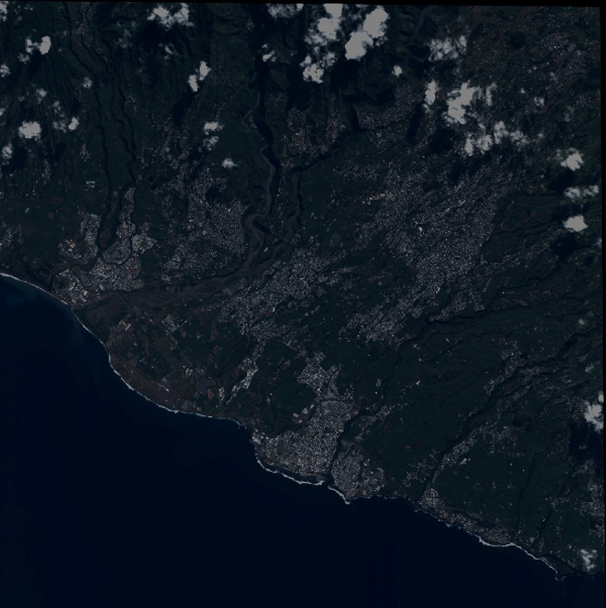
Quicklook
Copyright