TYPE:
SENSOR
LAYER:
DS_PHR1A_201305280632426_FR1_PX_E055S22_0618_01744
FORMAT:
DIMAP
RASTER:
image/jp2
General Information
Map Name
Geometric Processing Level
Radiometric Processing Level
BASIC
Image dimensions
Number of columns
38345
Number of rows
38532
Number of spectral bands
1
Dataset framing
Vertice
Longitude (DEG)
Latitude (DEG)
Row
Col
#1
55.37757192987053
-21.2074541797451
#2
55.56642041254224
-21.20569666891293
#3
55.56490267252865
-21.38186178762399
#4
55.37612139321092
-21.38389420979925
Dataset sources
PHR
Coordinate Reference System
Projected Coordinate System
Geocoding tables identification
EPSG(6.3)
Production
Production Date
2013-06-04T08:28:15.658
Job identification
624722101-001
Dataset Producer Identification
SISA
Producer link
http://www.spotimage.fr
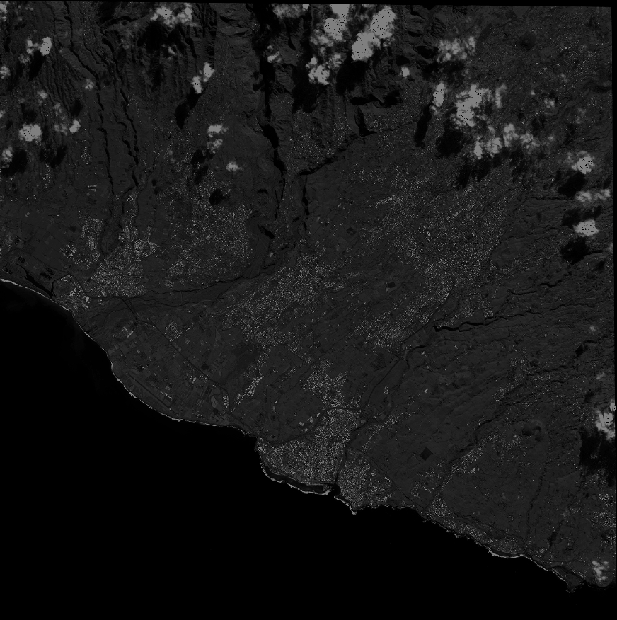
Quicklook
Copyright