TYPE:
SENSOR
LAYER:
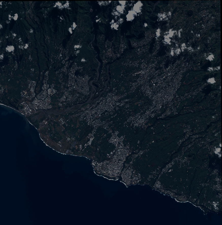
DS_PHR1A_201305280632530_FR1_PX_E055S22_0618_01753
FORMAT:
DIMAP
RASTER:
image/jp2
General Information
Map Name
Geometric Processing Level
Radiometric Processing Level
BASIC
Image dimensions
Number of columns
9621
Number of rows
9728
Number of spectral bands
4
Dataset framing
Vertice
Longitude (DEG)
Latitude (DEG)
Row
Col
#1
55.37815420055693
-21.20675150795265
1
#2
55.56609116162261
-21.20747304400297
#3
55.5649167728626
-21.38244992159736
#4
55.37688563670149
-21.38223432271168
Dataset sources
PHR
Coordinate Reference System
Projected Coordinate System
Geocoding tables identification
EPSG(6.3)
Production
Production Date
2013-06-04T08:28:08.646
Job identification
624722101-005
Dataset Producer Identification
SISA
Producer link
http://www.spotimage.fr
Quicklook
Copyright