TYPE:
SENSOR
LAYER:
DS_PHR1A_201305280633149_FR1_PX_E055S22_0617_01736
FORMAT:
DIMAP
RASTER:
image/jp2
General Information
Map Name
Geometric Processing Level
Radiometric Processing Level
BASIC
Image dimensions
Number of columns
9499
Number of rows
9476
Number of spectral bands
4
Dataset framing
Vertice
Longitude (DEG)
Latitude (DEG)
Row
Col
#1
55.37596285569716
-21.20460136509704
1
#2
55.5653649625701
-21.20748460189413
#3
55.56492098489463
-21.38472555331975
#4
55.37521235256549
-21.38276536002764
Dataset sources
PHR
Coordinate Reference System
Projected Coordinate System
Geocoding tables identification
EPSG(6.3)
Production
Production Date
2013-06-04T08:28:11.759
Job identification
624722101-006
Dataset Producer Identification
SISA
Producer link
http://www.spotimage.fr
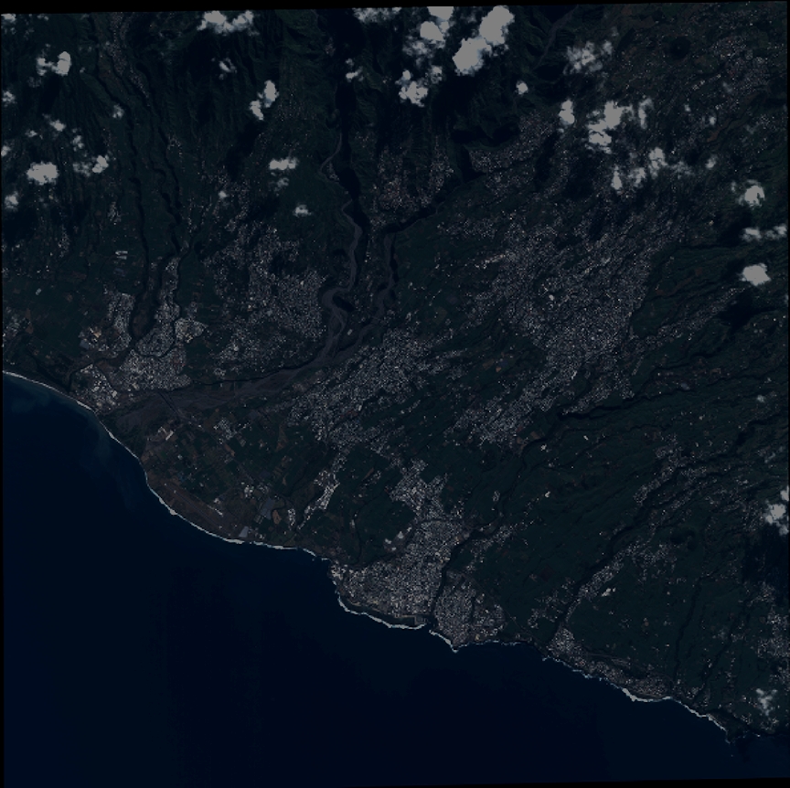
Quicklook
Copyright