TYPE:
SENSOR
LAYER:
DS_PHR1A_201305280633149_FR1_PX_E055S22_0617_01736
FORMAT:
DIMAP
RASTER:
image/jp2
General Information
Map Name
Geometric Processing Level
Radiometric Processing Level
BASIC
Image dimensions
Number of columns
37987
Number of rows
37902
Number of spectral bands
1
Dataset framing
Vertice
Longitude (DEG)
Latitude (DEG)
Row
Col
#1
55.3759897492821
-21.20461634958404
#2
55.56534751221562
-21.20750084737718
#3
55.56490354624722
-21.38473254744831
#4
55.37523987099504
-21.38277284447912
Dataset sources
PHR
Coordinate Reference System
Projected Coordinate System
Geocoding tables identification
EPSG(6.3)
Production
Production Date
2013-06-04T08:28:04.006
Job identification
624722101-003
Dataset Producer Identification
SISA
Producer link
http://www.spotimage.fr
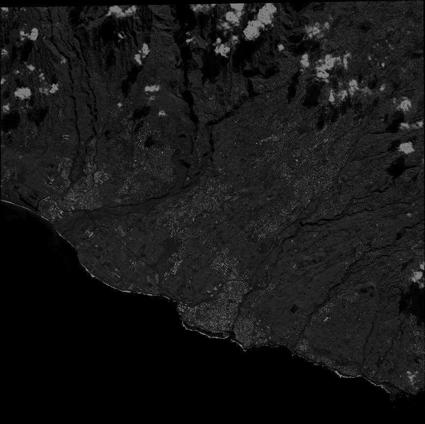
Quicklook
Copyright