TYPE:
SENSOR
LAYER:
DS_PHR1B_201308270633413_FR1_PX_E055S21_0802_01780
FORMAT:
DIMAP
RASTER:
image/jp2
General Information
Map Name
Geometric Processing Level
Radiometric Processing Level
BASIC
Image dimensions
Number of columns
9997
Number of rows
9872
Number of spectral bands
4
Dataset framing
Vertice
Longitude (DEG)
Latitude (DEG)
Row
Col
#1
55.55457566447038
-20.87025587837016
1
#2
55.7529136415986
-20.86666043485477
#3
55.75274792468461
-21.04941096138303
#4
55.55629366045885
-21.05097070021818
Dataset sources
PHR
Coordinate Reference System
Projected Coordinate System
Geocoding tables identification
EPSG(6.3)
Production
Production Date
2013-09-09T13:36:33.119
Job identification
668813101-003
Dataset Producer Identification
Astrium Services / Spot Image
Producer link
http://www.astrium-geo.com
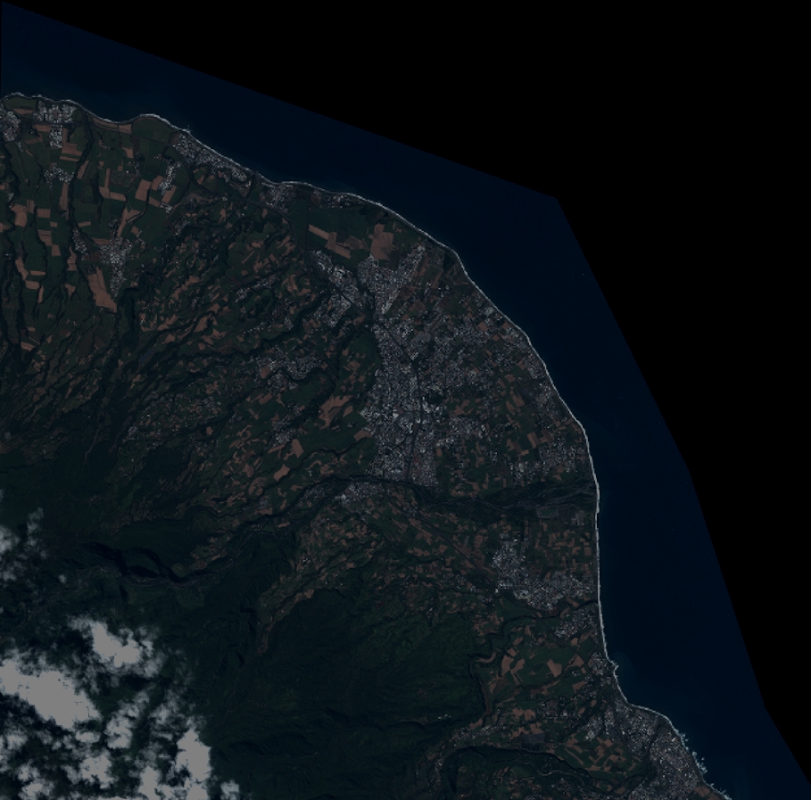
Quicklook
Copyright