TYPE:
SENSOR
LAYER:
DS_PHR1B_201308270633413_FR1_PX_E055S21_0802_01780
FORMAT:
DIMAP
RASTER:
image/jp2
General Information
Map Name
Geometric Processing Level
Radiometric Processing Level
BASIC
Image dimensions
Number of columns
39982
Number of rows
39486
Number of spectral bands
1
Dataset framing
Vertice
Longitude (DEG)
Latitude (DEG)
Row
Col
#1
55.55458314026517
-20.87027195306149
#2
55.75289140700838
-20.86667703206777
#3
55.75272570222355
-21.04941834301538
#4
55.55630115458429
-21.05097748301549
Dataset sources
PHR
Coordinate Reference System
Projected Coordinate System
Geocoding tables identification
EPSG(6.3)
Production
Production Date
2013-09-09T13:33:07.846
Job identification
668813101-001
Dataset Producer Identification
Astrium Services / Spot Image
Producer link
http://www.astrium-geo.com
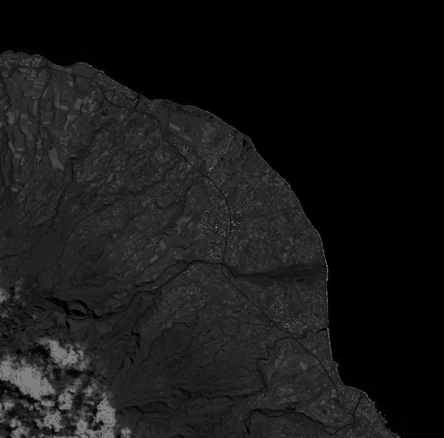
Quicklook
Copyright