TYPE:
SENSOR
LAYER:
DS_PHR1B_201308270634064_FR1_PX_E055S21_0802_01790
FORMAT:
DIMAP
RASTER:
image/jp2
General Information
Map Name
Geometric Processing Level
Radiometric Processing Level
BASIC
Image dimensions
Number of columns
10000
Number of rows
9817
Number of spectral bands
4
Dataset framing
Vertice
Longitude (DEG)
Latitude (DEG)
Row
Col
#1
55.55651443656471
-20.87026937119394
1
#2
55.75115072286188
-20.87152383566719
#3
55.75098924456972
-21.04914659782008
#4
55.55732212531706
-21.0489669316842
Dataset sources
PHR
Coordinate Reference System
Projected Coordinate System
Geocoding tables identification
EPSG(6.3)
Production
Production Date
2013-09-09T13:38:19.652
Job identification
668813101-004
Dataset Producer Identification
Astrium Services / Spot Image
Producer link
http://www.astrium-geo.com
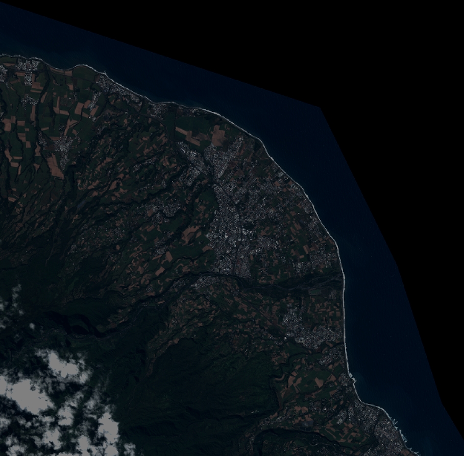
Quicklook
Copyright