TYPE:
SENSOR
LAYER:
DS_PHR1B_201308270634064_FR1_PX_E055S21_0802_01790
FORMAT:
DIMAP
RASTER:
image/jp2
General Information
Map Name
Geometric Processing Level
Radiometric Processing Level
BASIC
Image dimensions
Number of columns
40000
Number of rows
39267
Number of spectral bands
1
Dataset framing
Vertice
Longitude (DEG)
Latitude (DEG)
Row
Col
#1
55.5565217647786
-20.87028075056999
#2
55.75115803154825
-20.87153521149338
#3
55.75099655727558
-21.04915343458752
#4
55.55732942913406
-21.04897376441675
Dataset sources
PHR
Coordinate Reference System
Projected Coordinate System
Geocoding tables identification
EPSG(6.3)
Production
Production Date
2013-09-09T13:37:30.718
Job identification
668813101-002
Dataset Producer Identification
Astrium Services / Spot Image
Producer link
http://www.astrium-geo.com
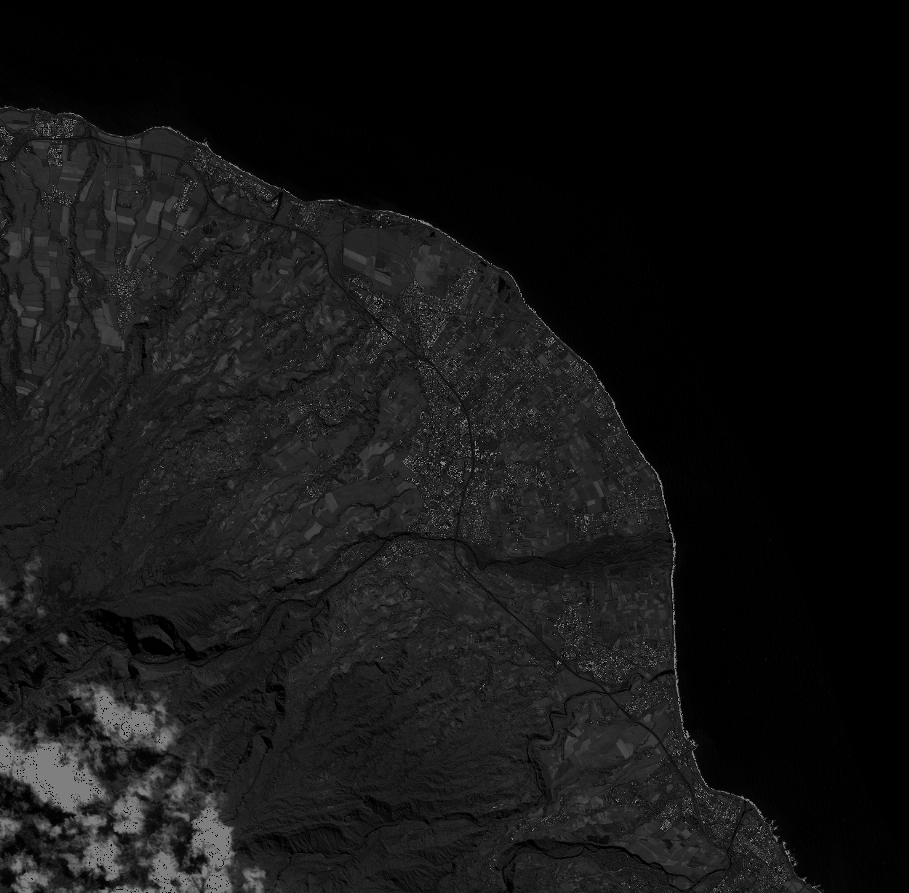
Quicklook
Copyright