TYPE:
SENSOR
LAYER:
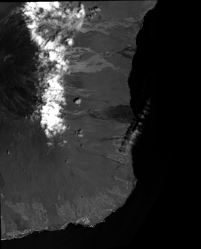
DS_PHR1B_201401110629385_FR1_PX_E055S22_1018_01724
FORMAT:
DIMAP
RASTER:
image/jp2
General Information
Map Name
Geometric Processing Level
Radiometric Processing Level
BASIC
Image dimensions
Number of columns
31012
Number of rows
38366
Number of spectral bands
1
Dataset framing
Vertice
Longitude (DEG)
Latitude (DEG)
Row
Col
#1
55.70455503949033
-21.20245534576766
#2
55.85989266827094
-21.20056394570013
#3
55.85966310668196
-21.37917006100503
#4
55.7001030983742
-21.38377160899474
Dataset sources
PHR
Coordinate Reference System
Projected Coordinate System
Geocoding tables identification
EPSG(6.3)
Production
Production Date
2014-01-20T14:06:44.672
Job identification
809517101-001
Dataset Producer Identification
Astrium Services / Spot Image
Producer link
http://www.astrium-geo.com
Quicklook
Copyright