TYPE:
SENSOR
LAYER:
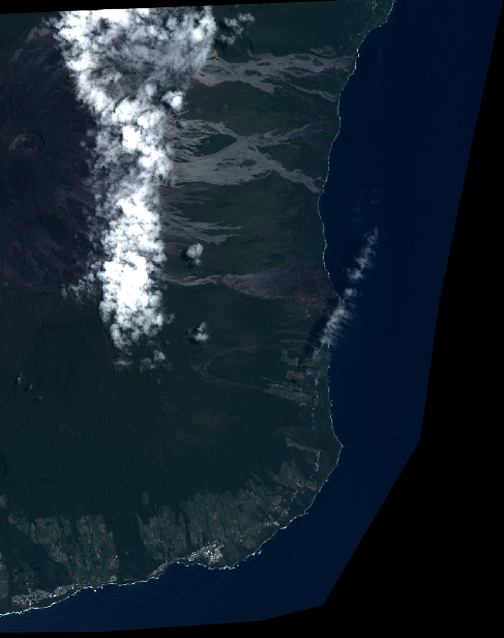
DS_PHR1B_201401110630123_FR1_PX_E055S22_1017_01750
FORMAT:
DIMAP
RASTER:
image/jp2
General Information
Map Name
Geometric Processing Level
Radiometric Processing Level
BASIC
Image dimensions
Number of columns
7790
Number of rows
9849
Number of spectral bands
4
Dataset framing
Vertice
Longitude (DEG)
Latitude (DEG)
Row
Col
#1
55.70478961370787
-21.20017199692881
1
#2
55.85990175198063
-21.20210873790631
#3
55.85963629135944
-21.38872219352738
#4
55.70165664409941
-21.38354289789603
Dataset sources
PHR
Coordinate Reference System
Projected Coordinate System
Geocoding tables identification
EPSG(6.3)
Production
Production Date
2014-01-20T14:08:07.057
Job identification
809517101-004
Dataset Producer Identification
Astrium Services / Spot Image
Producer link
http://www.astrium-geo.com
Quicklook
Copyright