TYPE:
SENSOR
LAYER:
DS_PHR1A_201304071320530_FR1_PX_E012N78_0122_01723
FORMAT:
DIMAP
RASTER:
image/jp2
General Information
Map Name
Geometric Processing Level
Radiometric Processing Level
BASIC
Image dimensions
Number of columns
9282
Number of rows
9572
Number of spectral bands
4
Dataset framing
Vertice
Longitude (DEG)
Latitude (DEG)
Row
Col
#1
11.69302029128087
78.96467823503529
1
#2
12.59897604313367
78.96272949181555
#3
12.59314003939015
78.78732806574106
#4
11.69562869673873
78.78999797940665
Dataset sources
PHR
Coordinate Reference System
Projected Coordinate System
Geocoding tables identification
EPSG(6.3)
Production
Production Date
2013-04-09T13:37:52.479
Job identification
613663101-004
Dataset Producer Identification
SISA
Producer link
http://www.spotimage.fr
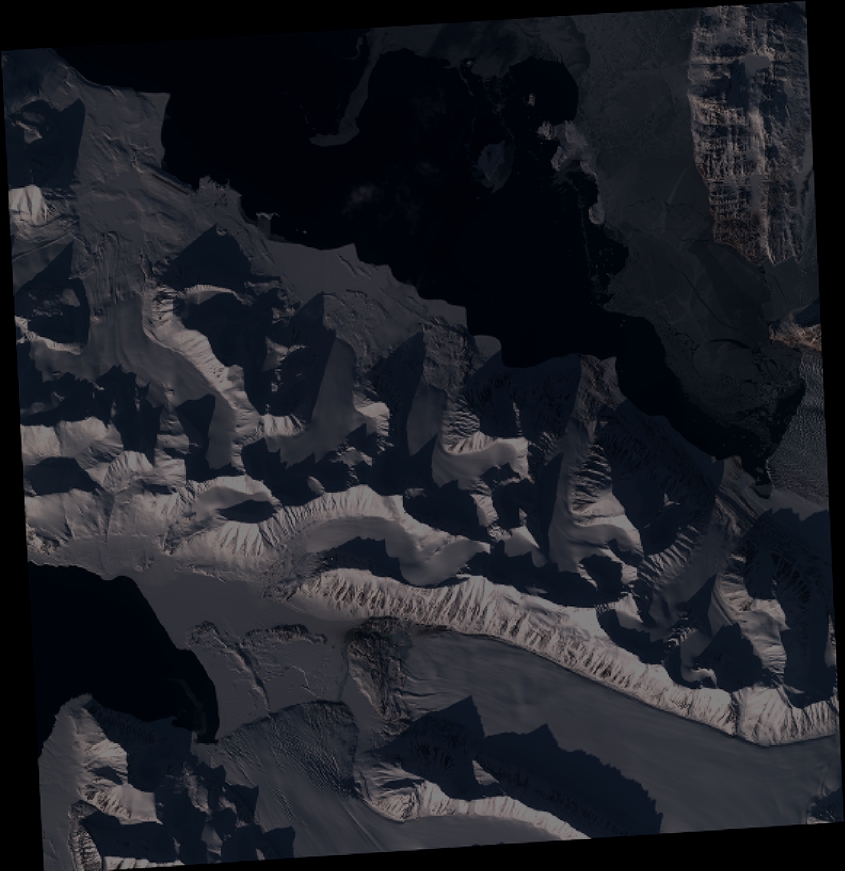
Quicklook
Copyright