TYPE:
SENSOR
LAYER:
DS_PHR1A_201304071320423_FR1_PX_E012N78_0122_01724
FORMAT:
DIMAP
RASTER:
image/jp2
General Information
Map Name
Geometric Processing Level
Radiometric Processing Level
BASIC
Image dimensions
Number of columns
9452
Number of rows
9578
Number of spectral bands
4
Dataset framing
Vertice
Longitude (DEG)
Latitude (DEG)
Row
Col
#1
11.69298100429678
78.96483401137033
1
#2
12.59916542614616
78.96273865500677
#3
12.59327229928868
78.78761059887088
#4
11.69729942735631
78.78982609722898
Dataset sources
PHR
Coordinate Reference System
Projected Coordinate System
Geocoding tables identification
EPSG(6.3)
Production
Production Date
2013-04-09T13:37:49.754
Job identification
613663101-005
Dataset Producer Identification
SISA
Producer link
http://www.spotimage.fr
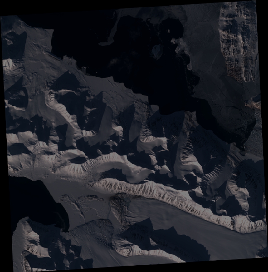
Quicklook
Copyright