TYPE:
SENSOR
LAYER:
DS_PHR1A_201304071320311_FR1_PX_E012N78_0122_01678
FORMAT:
DIMAP
RASTER:
image/jp2
General Information
Map Name
Geometric Processing Level
Radiometric Processing Level
BASIC
Image dimensions
Number of columns
9429
Number of rows
9310
Number of spectral bands
4
Dataset framing
Vertice
Longitude (DEG)
Latitude (DEG)
Row
Col
#1
11.69293647295597
78.96281762858831
1
#2
12.59929880360779
78.96286519718402
#3
12.59338976367014
78.79017767583086
#4
11.69910346056918
78.78958340881032
Dataset sources
PHR
Coordinate Reference System
Projected Coordinate System
Geocoding tables identification
EPSG(6.3)
Production
Production Date
2013-04-09T13:38:45.468
Job identification
613663101-006
Dataset Producer Identification
SISA
Producer link
http://www.spotimage.fr
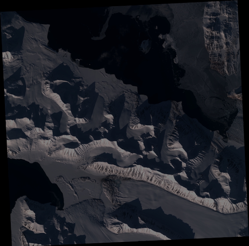
Quicklook
Copyright