TYPE:
SENSOR
LAYER:
DS_PHR1A_201304071320423_FR1_PX_E012N78_0122_01724
FORMAT:
DIMAP
RASTER:
image/jp2
General Information
Map Name
Geometric Processing Level
Radiometric Processing Level
BASIC
Image dimensions
Number of columns
37800
Number of rows
38310
Number of spectral bands
1
Dataset framing
Vertice
Longitude (DEG)
Latitude (DEG)
Row
Col
#1
11.69306512647071
78.96481800675814
#2
12.59905680871784
78.96272311936143
#3
12.59316640475395
78.7876039101473
#4
11.69738239944149
78.78981915945317
Dataset sources
PHR
Coordinate Reference System
Projected Coordinate System
Geocoding tables identification
EPSG(6.3)
Production
Production Date
2013-04-09T13:37:35.304
Job identification
613663101-002
Dataset Producer Identification
SISA
Producer link
http://www.spotimage.fr
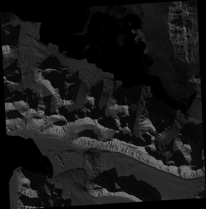
Quicklook
Copyright