TYPE:
SENSOR
LAYER:
DS_PHR1A_201304071320311_FR1_PX_E012N78_0122_01678
FORMAT:
DIMAP
RASTER:
image/jp2
General Information
Map Name
Geometric Processing Level
Radiometric Processing Level
BASIC
Image dimensions
Number of columns
37709
Number of rows
37236
Number of spectral bands
1
Dataset framing
Vertice
Longitude (DEG)
Latitude (DEG)
Row
Col
#1
11.69302112127494
78.96279219996148
#2
12.59921339763843
78.96283985520024
#3
12.59330676171342
78.79017053470184
#4
11.69918673764107
78.7895765770666
Dataset sources
PHR
Coordinate Reference System
Projected Coordinate System
Geocoding tables identification
EPSG(6.3)
Production
Production Date
2013-04-09T13:37:51.424
Job identification
613663101-003
Dataset Producer Identification
SISA
Producer link
http://www.spotimage.fr
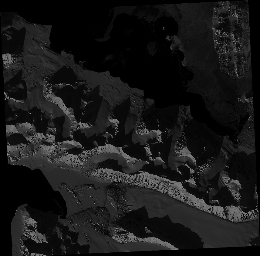
Quicklook
Copyright