TYPE:
SENSOR
LAYER:
DS_PHR1B_201301030137104_FR1_PX_E139N35_0916_00801
FORMAT:
DIMAP
RASTER:
image/jp2
General Information
Map Name
Geometric Processing Level
Radiometric Processing Level
BASIC
Image dimensions
Number of columns
10000
Number of rows
4368
Number of spectral bands
4
Dataset framing
Vertice
Longitude (DEG)
Latitude (DEG)
Row
Col
#1
139.5673894996718
35.73875912229381
1
#2
139.9312064407454
35.81234109254301
#3
139.9327887803254
35.58551094419652
#4
139.5658140156905
35.50922381942837
Dataset sources
PHR
Coordinate Reference System
Projected Coordinate System
Geocoding tables identification
EPSG(6.3)
Production
Production Date
2014-10-22T08:56:20.577
Job identification
IPU_20141022_6527-004
Dataset Producer Identification
Astrium Services / Spot Image
Producer link
http://www.astrium-geo.com
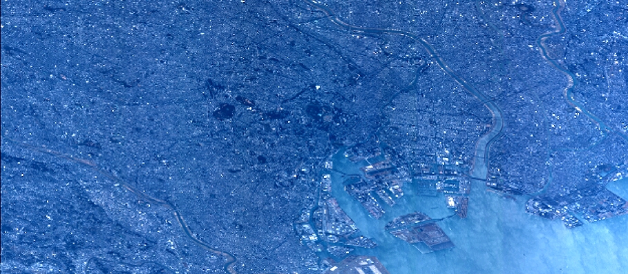
Quicklook
Copyright